Surveying with a Drone - Step 4
"A Step-by-step process"
Surveying with a Drone (a.k.a. UAV, UAS, sUAS). These acronyms have specific technical meanings however in the context of this article they are synonymous to the commonly used name of Drone.
To survey with a Drone several things need to be in place as follows:
- FAA Part 107 Remote Pilot License (Step 1)
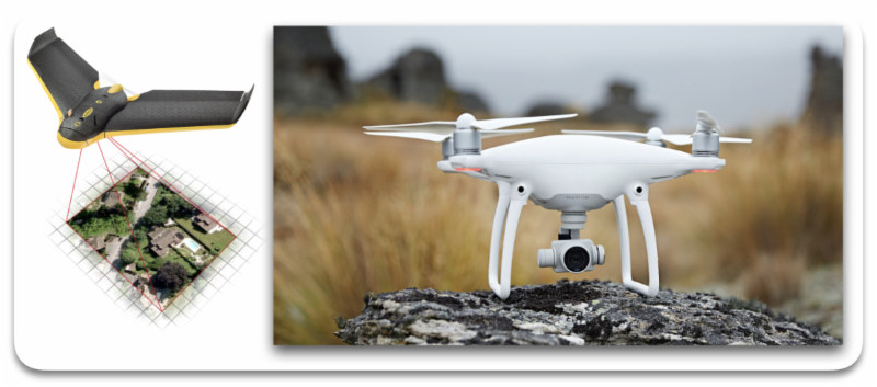
- A fixed or rotary wing Drone (Step 2)
- Photography and Ground control (Step 3)
- Desktop or online mapping software (Step 4)
Step 4
Step 3 introduced you to several surveying mapping products that can be produced using drone technology.
We will now discuss several software applications that are available that will produce the different mapping products.
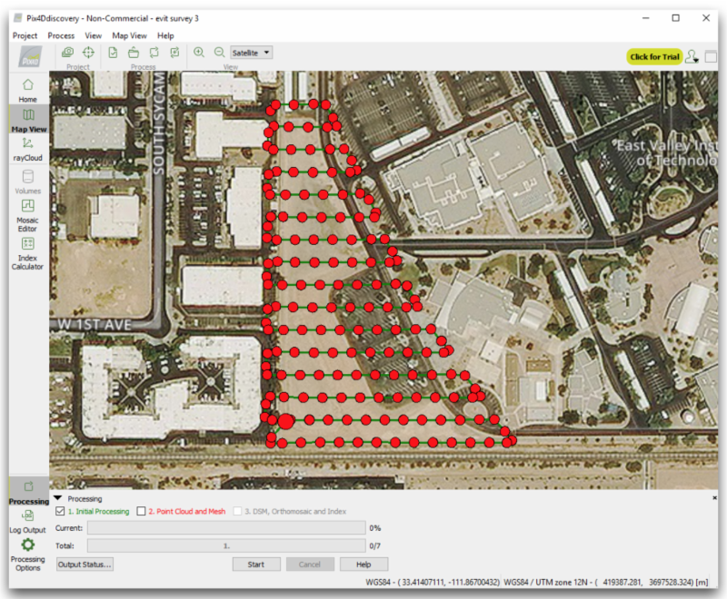
I have tested one desktop application (
Pix4D) and two cloud-based applications (
DroneDeploy &
Maps Made Easy) to create several different survey mapping products.
Pix4D
Pix4D desktop solution was easy to learn and processing was pretty much straight forward.
Pix4D has many surveying products that include Orthomosaic, 3D Point Clouds, Contour Mapping and others. It allows for ground control points to be added to increase the accuracy of the maps. Centimeter accuracy is possible with high resolution images.
A mobile app is available for mission planning that will interface with several popular drone models.
Yearly ($3,500), monthly ($350) and perpetual ($8,700) subscription options are available.
An awesome desktop application and will handle large mapping areas.
DroneDeploy
DroneDeploy is a cloud-based mapping solution. Very easy to setup a mapping mission and to upload images.
The online portal seamlessly synchronizes with the mobile app.
The surveying mapping products available are 2D Map, 3D Model, Plant Health & Elevation. Area and Volume calculations are also supported.
Explorer (Free), Pro ($99/mo) and Business ($299/mo) subscriptions are available.
Cloud-based computing is becoming the norm. DroneDeploy offers a superb online product for the surveying community.
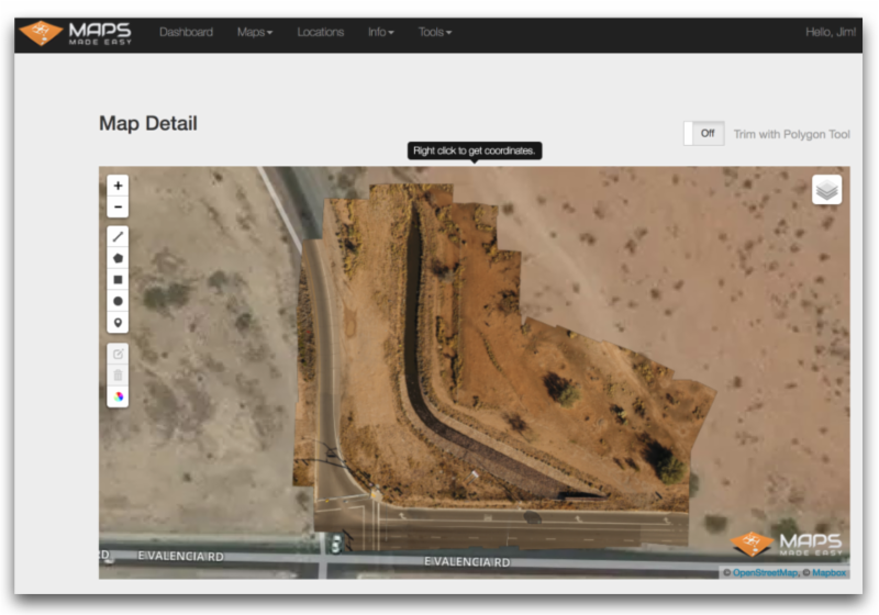
Maps Made Easy
Maps Made Easy is a cloud-based solution. There are a few more steps to complete through the online portal compared to DroneDeploy.
Maps Made Easy uses a point system to determine the processing fee. All jobs up to 250 points are free. Points are determined when the images are uploaded and the level of accuracy has been selected.
300 points will cover about 120 Acres for $7.99
up to
50,000 points will cover about 30,000 Acres for $669.99
This cloud-based option is very affordable and produces excellent products.
______________________
Conclusion
All three solutions described above have been tested on small sites, 25 acres or less. The results are almost identical between the three applications.
One of the key points to remember is that when capturing images there needs to be an overlap of at least 70% between images. The mapping area also needs to cover about 30% outside of the desired mapping area in order to minimize distortion along the edges of the area to be mapped.
The Ground Sample Distance (GSD) will vary depending on the resolution of the image and processing functions that are available with the application. The smaller the GSD is better but will cost more in flight time and processing fees.
The use of Ground Control Points (GCP) are required for high accuracy 3D models.
Drone technology has opened the door to many surveying companies to use aerial mapping products even on the smallest of projects.
|