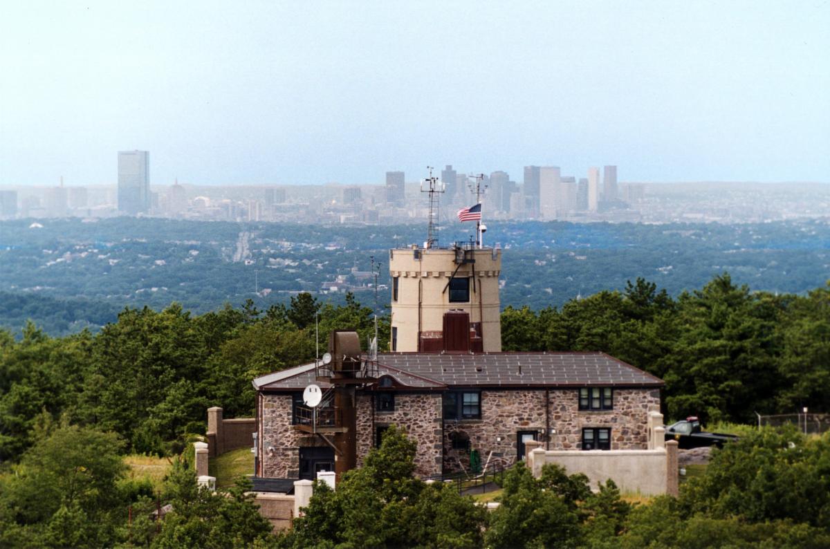
|
Smoothest & Easiest Walk
You may walk up 1 Observatory Service Road a.k.a. Summit Road, which is 1 mile long and paved. It is used by many people to get to The Observatory every day. Nearest access to the road is the North Parking lot located at 1898 Canton Avenue, Milton, MA 02186. From there walk north (away from the Trailside Museum) to Observatory Service Road. There will be someone and/or signs to direct you.
Shortest Hike 15-20 Minutes 0.6 to 0.9 miles
The shortest routes are the ski trails but there are some steep parts many people find strenuous. Somewhat easier are popular routes up either the Abigail Adams (a.k.a. Red Dot North) or the Red Dot trail up to the service road and then right on the service road up to The Observatory. The entrance to these two trails or the ski slopes is from the South Parking lot at 1904 Canton Avenue Milton, MA 02186. These hikes or the walk listed below most people get from the 138 lots to the Observatory in about 25-30 minutes. Walking at 4 m.p.h. is about 15 -20 minutes depending on the route.
Fit Hiker 45-60 Minutes
If you like to hike, we suggest you park on Unquity Road near Camp Sayre or on Hillside Street near the reservation headquarters/State Police. Head west to Blue Hill from those spots. It takes a fit hiker about 45-60 minutes to get to Blue Hill from Unquity Road. You can see a trail map here
A shorter but steeper hike is up the Skyline Trail on the southwest side of Blue Hill. Park at the Commuter Parking 2991 Washington Street Canton, MA (rte 138). Informaton at "Canton, Park and Ride". Carefully cross 138 and go up the trail to the summit. About 20 minutes for a fit hiker.
|