|
This year marks Summit Land Conservancy’s 20th Anniversary as Park City’s local land trust–- 20 years of saving the landscapes that are the heart of our community. The first 20 years of forever…
To honor the places we have protected, we will highlight and share some of the stories about these precious lands and how the Conservancy has grown over the years.
Our next property: Pyper Tracey Ranch, a 50-acre agricultural property protected in 2013, located upstream on the Weber River from the 44-acre Fawcett Ranch.
“We met Bob and Pat Richins in 2007 in Henefer along with several other landowners who were all interested in preserving their farms along the Weber River to the south of Henefer. In 2008, I saw in the Summit County News that Bob had won a conservationist award, so I sent him a note of congratulations. The following year, as I was on my way to closing the Fawcett’s easement, I received a call from Bob Richins, who wanted us to start work to save his ranch. Located just one parcel to the south of the Fawcett property, the Pyper Tracey Ranch was comprised of four parcels that Bob Richins owned. Bob named the ranch after his mother’s second husband, who raised him.
Once again, we reached out to the Division of Wildlife Resources for funding. The Weber River here was straightened when Interstate 84 went in, and those alignments were reinforced during the flooding of 1983. But the Pyper Tracey parcels contained an old oxbow. Old cottonwoods hosting a heron rookery, grew along the old river bed, which still fills with water in the spring.
The aquatic biologists were thrilled with this oxbow. They envisioned reconnecting it to the main river, as slowing the river down through this type of meander would be better for both fishing and water quality. In fact, the NRCS people told us there was a special federal program called the Wetland Restoration Program that funded the reclamation of wetland areas. This program was rarely used in Utah because there aren’t many wetlands here. The WRP easement is also far more restrictive than our agricultural easements. The purpose of the WRP program is to remove wetland areas from adverse agricultural uses and restore the wetland values. Agriculture is a permitted use under the terms of this easement, but that permission must be obtained anew every few years.
Funded by the 2008 Farm Bill and administered by state NRCS offices, the WRP program purchased easements at full face value from the landowner directly, and did not require a “cooperating entity.” The WRP program was interested only, however, in the 30 acres closest to the river and containing the old oxbow. It would not purchase the slightly higher, dryer pasture and farmland.
We decided to do this deal in two parts: Bob would work with the WRP to place an easement on the 30 acres nearest the river, while we would seek funding through another 2008 Farm Bill allocation, the Farm and Ranchland Protection Program (FRPP) and other sources to purchase an easement on the remaining 20 acres.
We took our proposal to the Eastern Summit County Agricultural Protection Committee as well. They specified that they would fund the project, but only if the easement was also placed on the river-portion.
The WRP easement closed in 2012, allowing Richins to pay off a mortgage on the remaining 20 acres. This easement also satisfied ESAP’s requirement that the whole 50 acres be placed under easement. Once Richins owned that property free and clear, we closed on the purchase of the remaining 20 acres, using the FRPP funding, ESAP, and smaller grants from Backcountry.com, Geary Construction, and the Mellen Foundation.
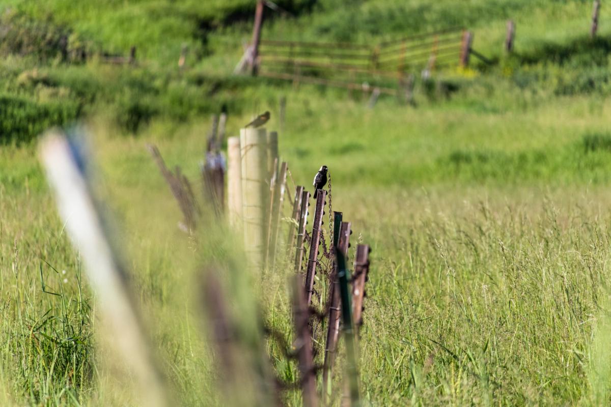
Riding on the back of Bob Richin’s ATV in the summer of 2009, we saw a fawn and herons. Bob spoke of the way his cottonwoods grew more in some years and less in others. He was proud that the Russian Olives, planted by the Utah Department of Transportation along the river flourished only on his property, because he’d removed the binding guywires. The wildlife loved those trees, he said. He reported that bobolinks, a species of concern, had been spotted on farms north of Henefer, and he thought the birds might be on his property too. He mowed his hay a little late, in order to allow their chicks the chance to fledge. Finally, he told me of a desperate sandhill crane that had attacked him one year as he was out in his fields.
It took a long time to finish the preservation of the 50-acre Pyper Tracey Ranch: 6 years from our first meeting with the landowner, two federal farm bill programs, and two separate conservation easements, but we made it.”
Learn more about the Conservancy’s work and how you can save the lands and waters you cherish at www.wesaveland.org.
|