Integrated Monitoring in Bird Conservation Regions eNewsletter |
|
|
Welcome to the IMBCR e-newsletter! With this outlet, we will showcase IMBCR data applications for management and conservation efforts, highlight the many partners and faces that make IMBCR possible, and provide program updates and outreach materials. Please forward the newsletter to any interested colleagues who might find the material useful. If you have examples you would like to share using IMBCR data or would like to get involved in this monitoring effort, please contact Jen.
|
|
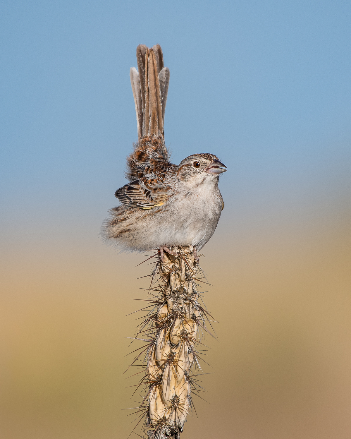
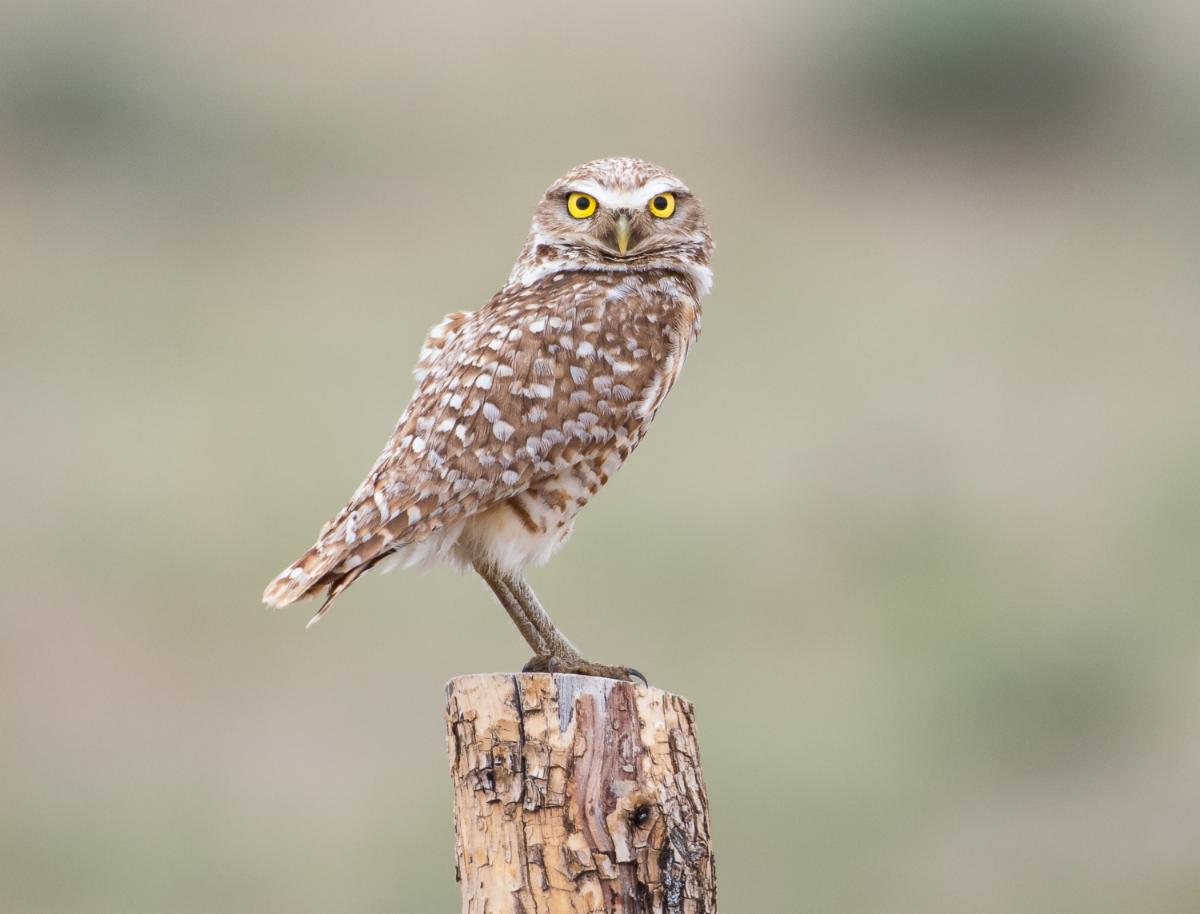
Cassin's sparrow by Brian Genge |
|
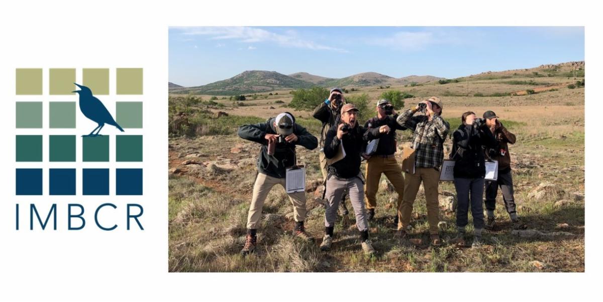
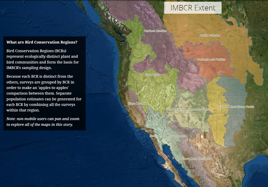
Integrated Monitoring in Bird Conservation Regions (IMBCR) is a breeding landbird monitoring program that spans the Great Plains to the Great Basin. A nested, probabilistic sampling design allows us to make inference about bird populations at multiple scales across public and private lands. Click here for more information about the program including the IMBCR vision and mission statement.
|
|
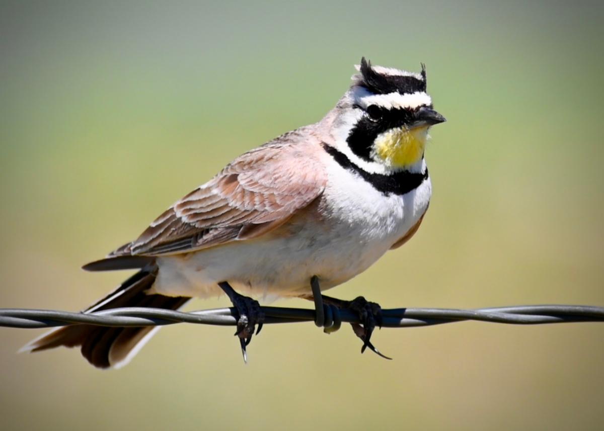
Field Season Time! We have already begun trainings for the upcoming field season. The sampling effort this year will be similar to 2023's effort with a couple exceptions. For the baseline effort, we will survey across all units in the USFS Southwest Region, and we are also starting some new overlay projects. For example, we will evaluate CRP lands for birds & other pollinators in the Southern Plains, and monitor bird response to aspen & mountain mahogany treatments in the Twin Falls district in Idaho.
Photo: Horned lark by Jesse Agee.
|
|
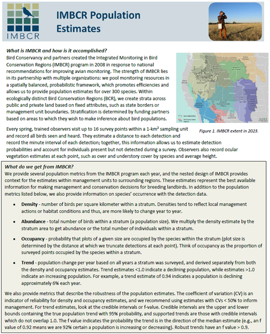
We recently updated our annual analysis framework to increase efficiencies. We now estimate occupancy at the point level rather than the 1-km2 grid cell, which increases the resolution and precision of occupancy. We also now provide trend based on density and occupancy estimates. Trend on occupancy is likely to be useful for less common species where we may not have sufficient detections to estimate density.
Click on the 1-pager to the right for an explanation of the annual estimates and how to determine robust estimates.
Please note: we are currently re-running the 2023 estimates and they should be available on the new Rocky Mountain Avian Data Center by August 2024.
|
|
That's right - we have a new RMADC! The site is a beta version and we're hoping to have a polished version with case studies and some other tools (eg, density by habitat type) ready by this fall. In the meantime, you can access approximate survey locations, species counts, and the density, occupancy, and trend estimates (once they're updated) by selecting relevant filters on the left-side of the Explore the Data page. Let Jen know if you have questions about accessing or interpreting the info. |
|
Dusty Downey, Conservation Ranching Manager with Audubon Rockies &
Bill Vetter, Principal Wildlife Biologist with Precision Wildlife Resources (PWR)
Audubon Rockies began conducting IMBCR overlay surveys across 8 ranch properties in Wyoming and Colorado in 2016, which coincided with the inception of their Conservation Ranching Program. PWR was brought on-board as a monitoring and data management contractor in 2018. Together, Audubon Rockies & PWR have monitored 30 ranches from central Montana to southern Colorado over the last 6 years. This program seeks to enlist and assist America’s ranchers—the stewards of our remaining grassland landscapes—in implementing conservation ranching practices on millions of acres to benefit rangeland birds.
Information from the surveys functions as both decision-making input, as well as a feedback loop, for the Conservation Ranching Program. Population species trends from the collective avian network help target appropriate conservation measures necessary to address species concerns, whereas ranch-specific monitoring data help identify the success or adaptive management considerations of the implemented conservation actions at individual properties.
|
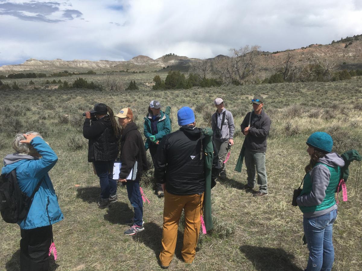
Above: burrowing owl by Brian Genge, and top right: Audubon Rockies/PWR IMBCR training in 2021. |
|
IMBCR data are invaluable across multiple temporal and spatial scales, as well as project design applications, that apply to the ranch operations and habitat management decisions occurring each year on all of the enrolled ranches. To date, numerous assessments utilizing IMBCR data have been applied or are currently underway to determine the effectiveness of various implemented conservation measures, ranging from regenerative grazing and habitat integrity management practices (e.g., woody encroachment removal) to consumptive agricultural water use and riparian enhancement projects. The annual species occurrence data for each ranch is also immensely important as a means for continued communication with the ranching community to help discuss ecological diversity and engage them further in conservation plans and incentives.
Finally, Audubon Rockies and PWR have recently engaged with Bird Conservancy to explore a comprehensive analysis of the potential benefits and outcomes of grazing management decisions across all years of ranch monitoring (including expanded future monitoring across a broader network) over both the breeding and wintering ranges of many rangeland birds. We are especially excited to see where this may lead!
See a publication evaluating the effectiveness of the Conservation Ranching Program here. |
|
 |
Playa Lakes Joint Venture (PLJV), in collaboration with 3 other Joint Ventures, is developing an online decision support tool to assist managers with conservation efforts for grassland birds. Grassland Outcomes Tool for Birds, or GOT Birds, will allow managers to estimate differences in grassland bird abundance due to woody plant removal efforts in grassland regions. Managers will be able to estimate changes in specific project areas, as well as across a larger landscape. Results will also include both the breeding (informed by IMBCR data) and non-breeding season. Read more about GOT Birds here.
Photo Above: Lark bunting by Wyatt Armstrong
|
|
|
|
In 2019, PLJV initiated an overlay study on the Matador Wildlife Management Area in collaboration with Texas Parks and Wildlife. They were interested to see if mesquite removal was harmful or beneficial to bobwhite quail and how it impacted other birds. They compared population estimates for bobwhite and other birds in the treatment area to areas where no mesquite removal was occurring. Results so far indicate that the Matador hosts more bobwhite than areas where mesquite isn't being removed, and bobwhite density is actually lower in places with high mesquite cover. Read more about this study here.
Photo Above: Northern bobwhite by Steve Maslowski (USFWS)
|
|
|
|
We have an IMBCR Story Map! Learn about the IMBCR program including its objectives, the sampling design, field methods, and how the results are used to inform management and conservation decisions. You can pan in and out of the IMBCR footprint to view various strata within each state. Please share the Story Map with anyone who might be interested in learning about the program! |
|
Check out the IMBCR Applications webpage for IMBCR-related resources. You can access publications, annual reports & field protocols, trend estimates, past IMBCR meeting notes, and various one-pagers. |
|
|
|
|
Stay in touch!
Contact Jen Timmer (jennifer.timmer@birdconservancy.org) with questions, example applications of IMBCR data, pictures, or any other contributing material for future IMBCR e-newsletters.
|
|
birdconservancy.org/IMBCR |
|
|
|
|
|
|