Integrated Monitoring in Bird Conservation Regions eNewsletter |
|
|
Welcome to the seventh IMBCR e-newsletter! With this outlet, we will showcase IMBCR data applications for management and conservation efforts, highlight the many partners and faces that make IMBCR possible, and provide updates and outreach materials. Please forward the newsletter to any interested colleagues who might find the material useful. If you have examples you would like to share using IMBCR data or would like to get involved in this monitoring effort, please contact Jen!
|
|
|
Integrated Monitoring in Bird Conservation Regions (IMBCR) is a breeding landbird monitoring program that spans the Great Plains to the Intermountain West. A nested, probabilistic sampling design allows us to make inference about bird populations at multiple scales across public and private lands. Click here for more information about the program including the IMBCR vision and mission statement.
|
|
The annual IMBCR Partners meeting went virtual this year with roughly 35 participants each day. The sessions each day were largely interactive. The first day was dedicated to field implementation updates, questions, and concerns. Matthew McLaren provided a review of the 2020 sampling effort (98%!) and outlined some new overlay projects for 2021, including a NFWF-funded overlay to look at restoration impacts on sagebrush songbirds. Participants discussed calibration challenges with Covid-19 protocols and data analysis cost increases. The second day focused on funding partner needs and how to integrate IMBCR estimates into partner agencies' workflows. Participants discussed how their agencies currently use the estimates and how IMBCR data can show impacts of fire on birds. Visit this folder to see notes and a summary of the meeting. |
|
Field Season Update: BCR and implementation partners are monitoring the COVID-19 situation as we plan for the upcoming field season. As of now, we plan to have a near-complete field effort barring any change in local or national safety protocols. We will keep partners updated, but let us know if you have any questions in the meantime. |
|
|
|
Annual IMBCR report ready!
The 2020 IMBCR field season report is finished. Please share with others.
|
|
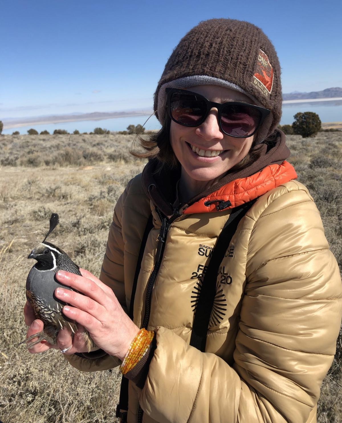
Terri Pope
Wildlife Conservation Biologist, Central Region, Utah Division of Wildlife Resources (UDWR)
In 2016, UDWR joined with federal partners and NGOs to provide statewide coverage of the IMBCR program. As an agency, we oversee implementation of surveys in the “All Other” strata, which includes private, state, tribal, and National Park Service lands. In a typical year, our 5-6 biologists and 6-7 technicians complete up to 115 transects across the 4 BCRs found in Utah.
UDWR uses the baseline IMBCR data to help fill crucial data gaps (e.g., inadequate understanding of distribution or range for our Species of Greatest Conservation Need [SGCN]), and to comment on potential impacts of development projects, like solar energy and wind farms. We also plan to evaluate effects of widespread habitat restoration projects throughout the state.
|
|
Above: Terri holding a California quail |
|
Putting the Data to Work
Since 2019, UDWR has been exploiting the workforce already on the ground to collect some mammal SGCN data as well, by asking partners to collect presence/absence data for pocket gophers at each IMBCR point surveyed. These data have been used in statewide occupancy analyses and to guide additional field work designed to update the distributions of the different subspecies of pocket gophers in Utah. See the 2020 pocket gopher report here.
This spring marks the 5th year of statewide coverage in Utah after which partners plan to initiate a comprehensive analysis to correlate the SGCN abundance and occupancy results from the baseline IMBCR data with LANDFIRE-derived habitat composition and conditions. Analysis objectives include spatially comparing ecosystem resistance and resilience to SGCN density and occupancy; creating community indices of ecosystem integrity, and seeking to define density and occupancy thresholds for individual species and communities in terms of habitat quality; and providing habitat quality predictor variables to incorporate into the next generation of species distribution models.
|
|
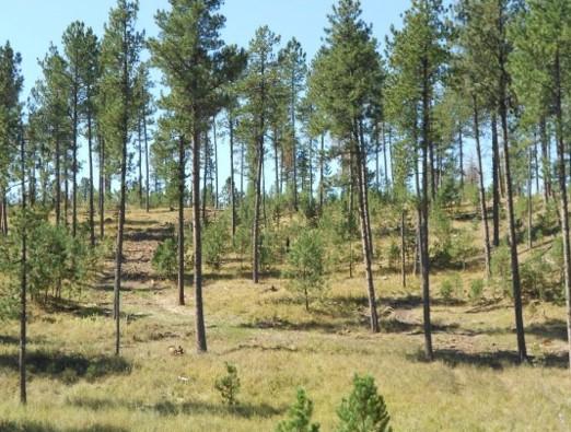
Quresh Latif, biometrician with Bird Conservancy, works with US Forest Service partners to address management questions using IMBCR data. In one study, he leveraged 10 years of monitoring data across the Kaibab and Coconino National Forests to analyze avian species and community relationships with vegetation structure and composition. These results will support hypothesis-driven effectiveness monitoring for the Four Forest Restoration Initiative. Read the report here. |
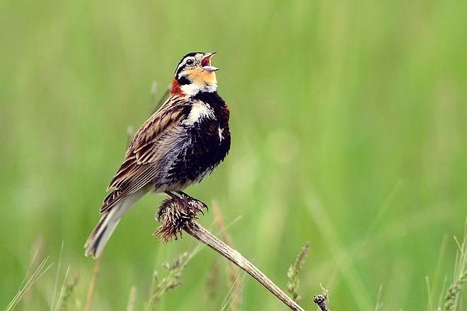
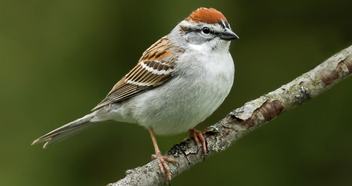
Working with the Kootenai and Idaho Panhandle National Forests, Quresh and collaborator, Jamie Sanderlin, evaluated focal species relationships to desired forest conditions, such as canopy openings. Results largely supported the predicted habitat relationships for focal species, including the chipping sparrow. However, biologists should incorporate empirically estimated habitat relationships into evaluation of focal species. Read the report here. |
|
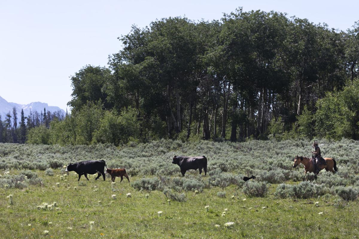
In another application, Quresh estimated species occupancy and richness relationships with vegetation attributes potentially impacted by grazing to inform grazing plans for the Bridger-Teton National Forest. Among the results, he found positive relationships for savannah, vesper, and Lincoln’s sparrow with grass cover and herbaceous height, suggesting potential grazing impacts on birds. Read the report here or see a factsheet on this study here. |
|
Check out the IMBCR Applications website for IMBCR-related resources. You can access publications, annual reports & field protocols, trend estimates, past IMBCR meeting notes, factsheets such as IMBCR FAQs, and a spreadsheet containing info on overlay projects & additional analyses. |
|
|
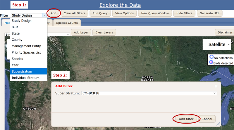
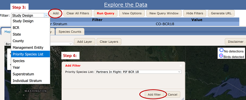
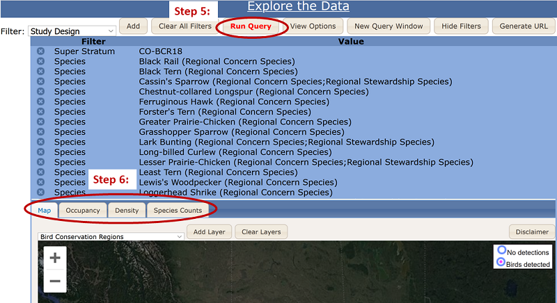
Click here to access the database. Use the filter dropdown menu above the map to narrow your selection to query IMBCR population estimates. For example, follow the steps below to query population estimates for the eastern plains of Colorado, CO-BCR18 (steps 1 & 2), and for Partners in Flight species of concern for BCR18 (steps 3 & 4). Then click the red "Run Query" button to retrieve the estimates from the database (step 5). Finally, click on the Map, Occupancy, Density, or Species Counts tab to view approximate survey locations, occupancy & density estimates, and detected species & sampling effort (step 6). Contact Jen with any questions. |
|
|
|
Stay in touch!
Contact Jen Timmer (jennifer.timmer@birdconservancy.org) with questions, example applications of IMBCR data, pictures, or any other contributing material for future IMBCR e-newsletters.
|
|
birdconservancy.org/IMBCR |
|
|
|
|
|
|