** LAST CALL: ONLINE SEATING IS LIMITED **
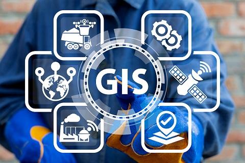
Intro to GIS for Local Public Agencies
August 3, 2023, 8:30am – 12:30pm PT
CALTAP is hosting an online Geographic Information Systems (GIS) training class that introduces basic concepts, tools, and applications needed to begin creating useful, informative, and data-rich online maps.
Designed as a skill path for the non-GIS professional, this course offers examples of how this technology is being used within state/municipal DOTs and how having a fundamental understanding can improve your ability to collaborate with GIS team members, consultants, or departments.
Learning objectives for this 4-hour course include:
- Understanding basic GIS concepts and applications
- Understanding the use/value of GIS in local agency operations
- Attaining basic GIS competencies without a technical background
- Accessing available GIS resources to build a data-rich web map
- How to identify, tag, and collect asset location data
Instructors & Presenters:
- Ben Olson, GIS/Data Manager, CITT/CSULB
- Terry Bills, Transportation Industry Director, Esri
- Arron Ott, Supervising Transportation Surveyor, Caltrans
Due to the hands-on interactive nature of this course,
class size is capped at 40 students. Register ASAP to secure a spot!
|