Logo.png

Friday, 4/23/21: Better’n a Carne Ride

My favorite cautionary sign.

We got up early, around 6 am, but for some reason we didn’t hit the road until 11:30. I have no idea where all of that morning evaporated to.


No matter. We didn’t get 2 miles down the road when we found one of those hidden gems. I noticed a tiny road sign out of the corner of my eye that said, Sandstone Bluffs. It pointed down a washboard gravel road. That looked promising to me, so we gave it a try. The rutted road went on for 1 1/2 miles giving us a bone jarring and teeth rattling ride reminiscent of what an old covered wagon would have experienced on its way to California. Suddenly, it opened up to a vista that blew our minds.


The long string of orange cliffs stood tall, overlooking a black valley of 4,000 year old lava. A plaque explained that the valley had been home to some 200 vents spewing out hot molten lava.


Sadly, a sign prohibiting drones kept me from getting out my drone, which was probably good as the wind was howling and would have taken it to the next county. We had to don our winter jackets to fight the penetrating cold. It was worth it, climbing over and around the cliffs was magical.

Sandstone Bluffs. You can see the back lava in the valley below.

We headed north towards the town of Grant, a tiny town on the original Route 66. It still had some faded old Art Deco style signage in front of closed-down weathered motels and diners, but other than that, Grant was pretty nondescript.


On the other side of Grant, we found another gravel road promising an area of lava caves and sinkholes, called El Calderon. Couldn’t pass that up. The weather turned grim with several dark storm cells buffeting us when we arrived at the trailhead. We even got pelted by some ice pellets.


In between cells we walked about a half mile up the three mile long trail before getting pelted again, forcing a hasty retreat. We were still able to see one lava cave and two lava sinkholes. I couldn’t see much difference between a cave and sinkhole. Both looked ragged and prehistoric.

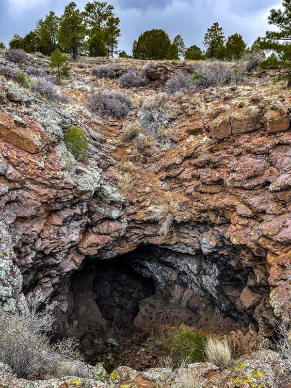
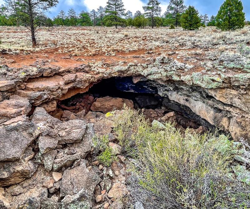
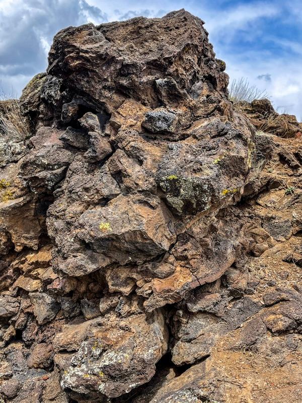
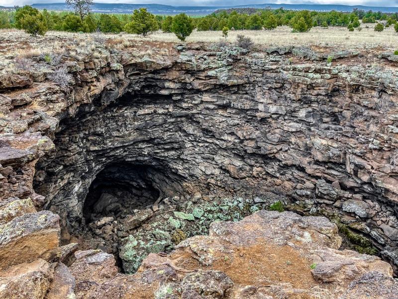
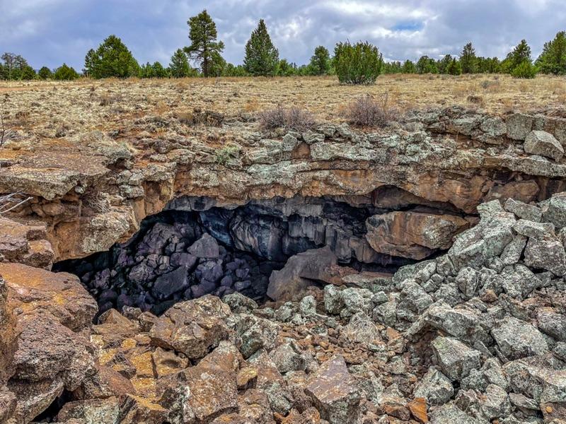
Further down the road was the Bandera Crater and Ice Cave. Surprisingly, the concessionary wasn’t run by the park service, it was a privately operated site. The $12 a head mile-long hike up the crater rim and then past the cave of permanent ice looked enticing. Just then another squall buzzed in and we didn’t want to invest $24 to be whacked by ice balls. We drove on to the El Morro National Monument. I knew that was free.


The ice from the sky thing is a bit perplexing. It was 55º out. I wasn’t sure how ice pellets could form in 55º. I guess the same way hail can form in 80º weather - lots of up drafts and down drafts and the like.


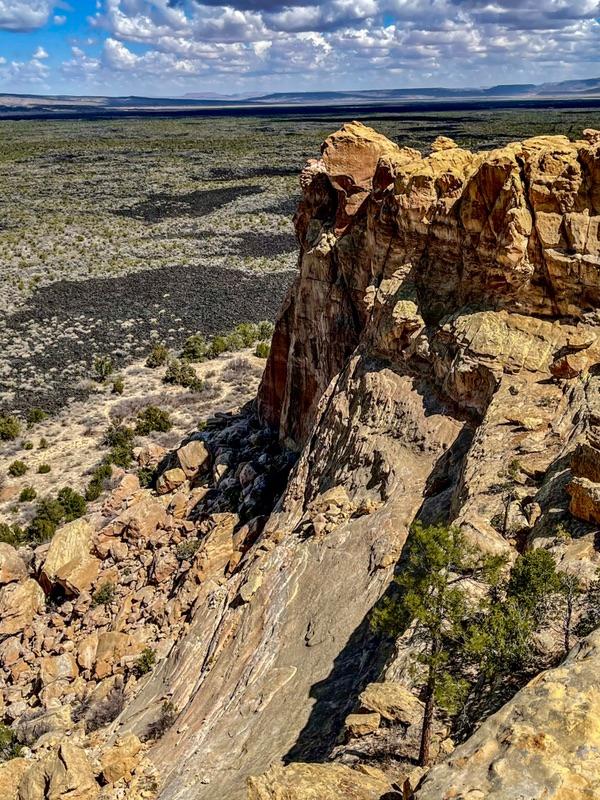
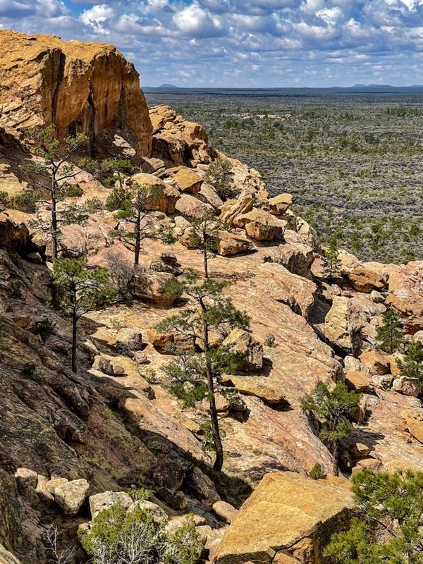
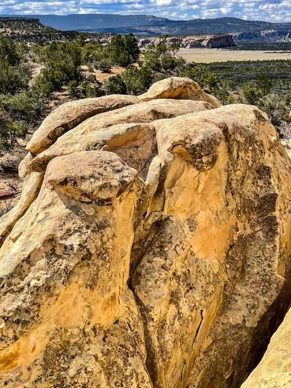
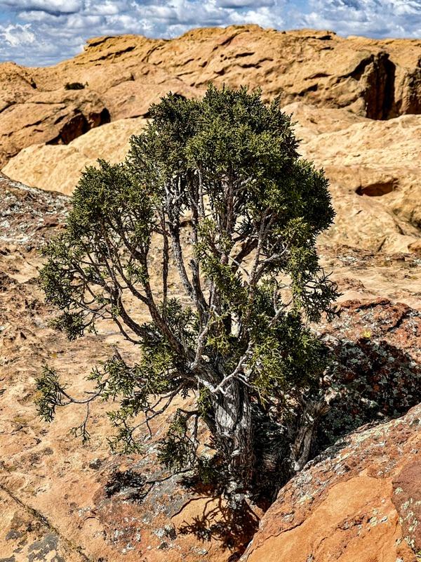
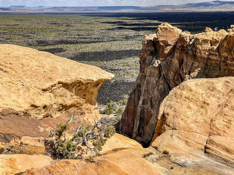
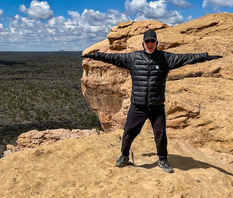
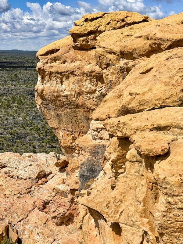
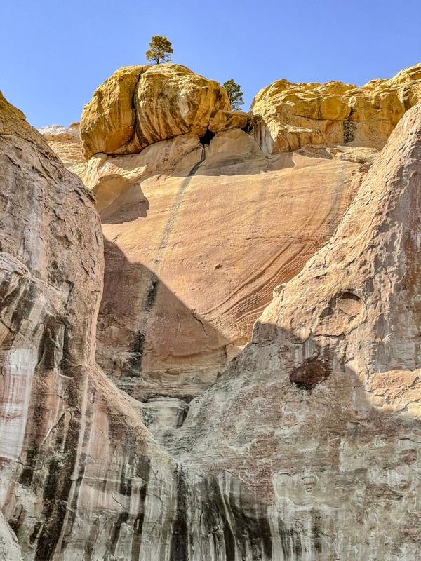
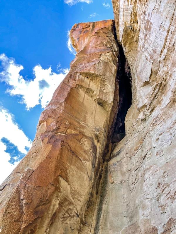
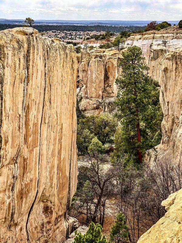
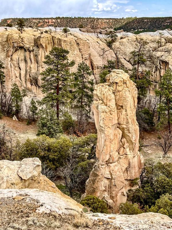
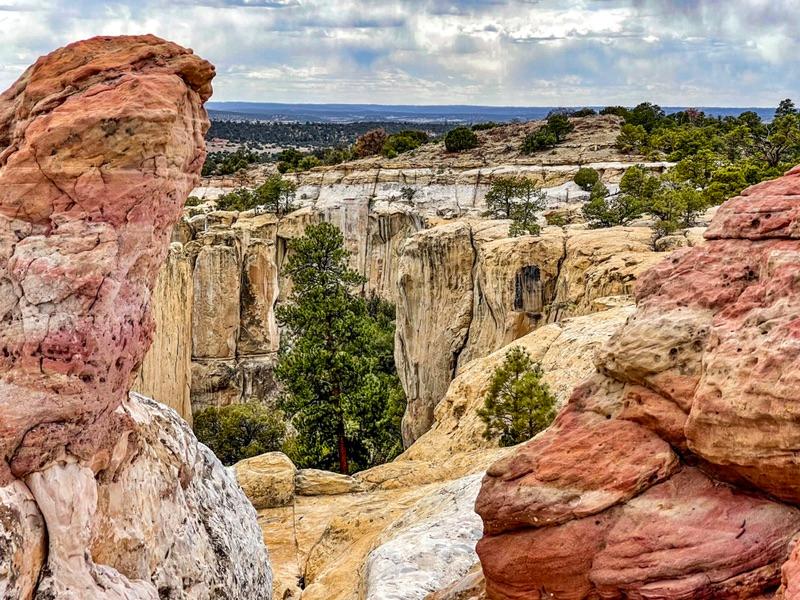
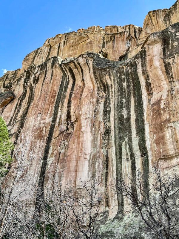
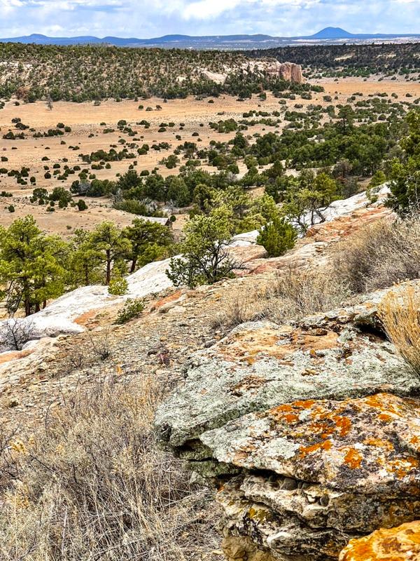
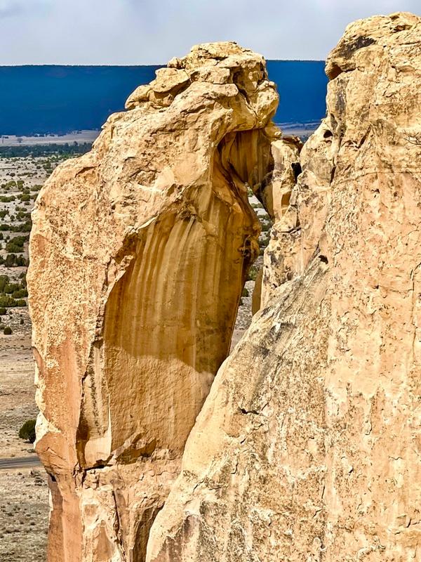
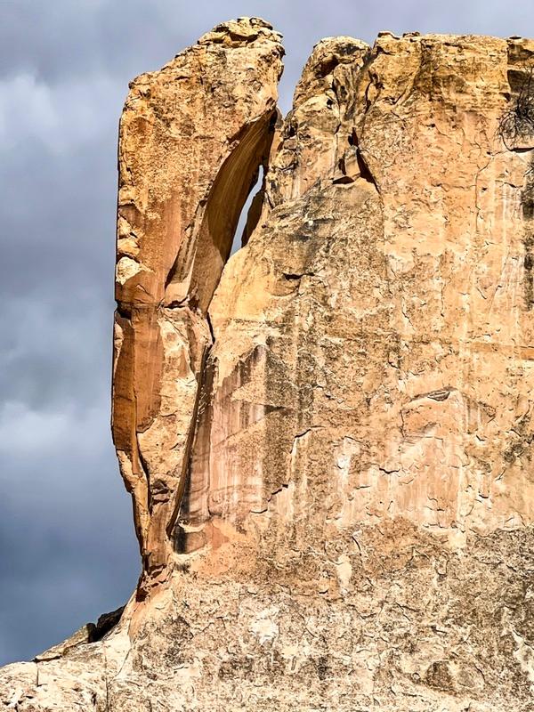
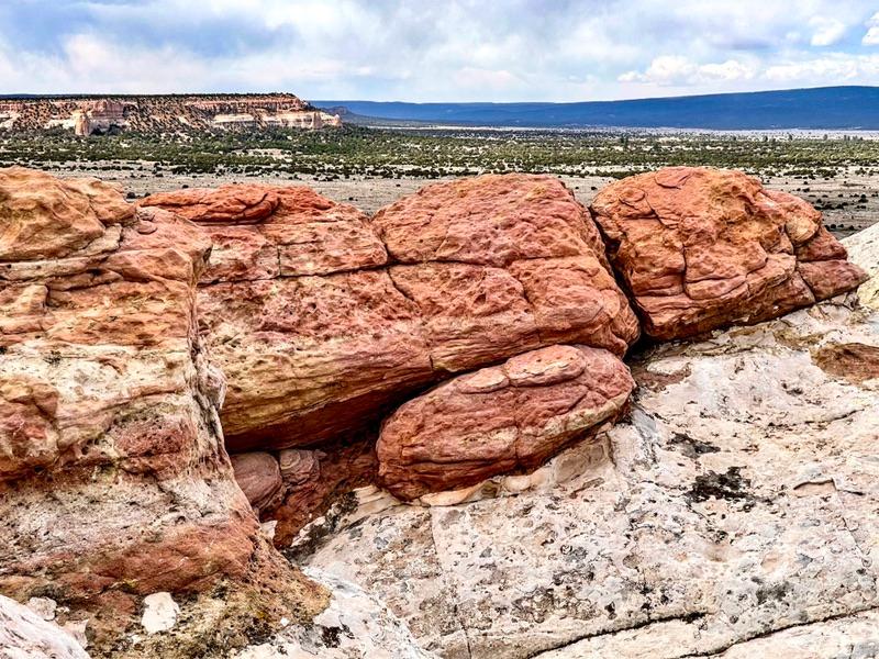
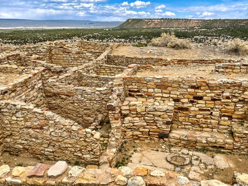
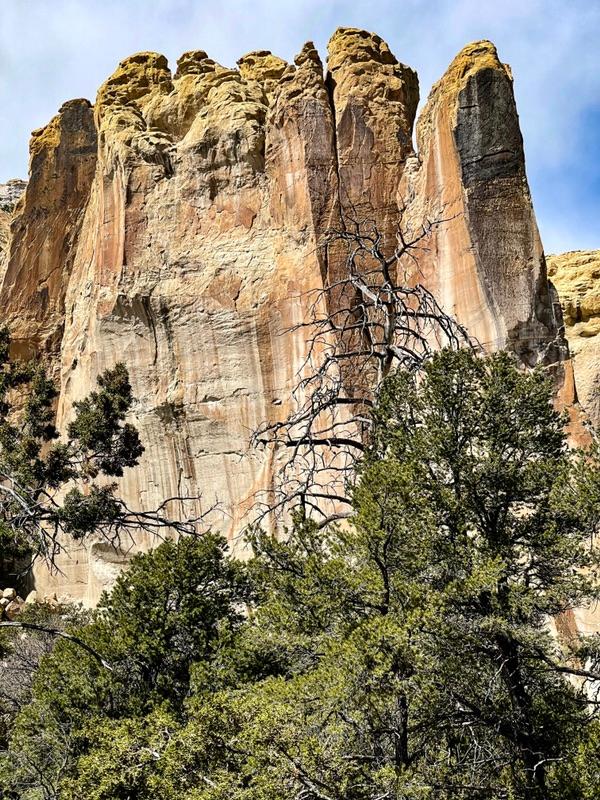
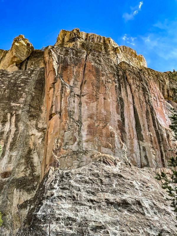
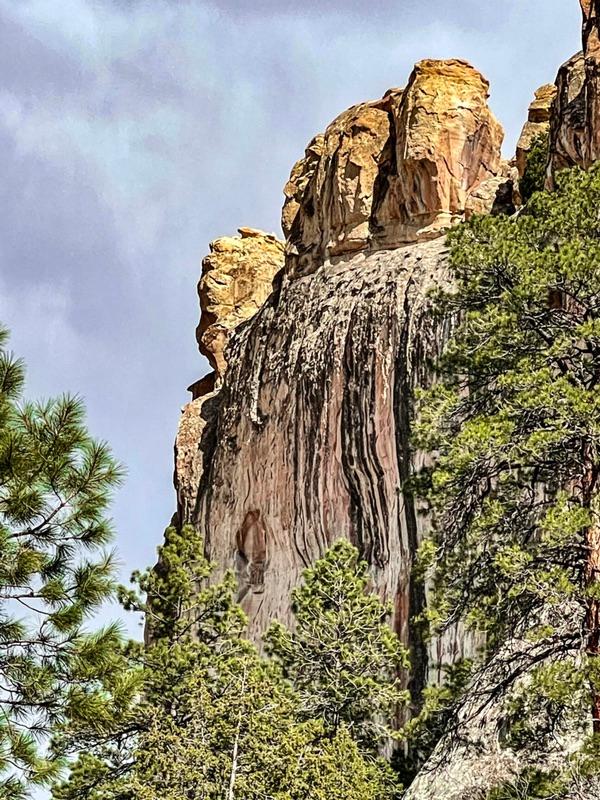
El Morro, a complex of sandstone cliffs and box canyons, was once the site of a tiny 13th century village. Archeologist are working on a dig at the village site way up on a cliff edge affording a commanding view.


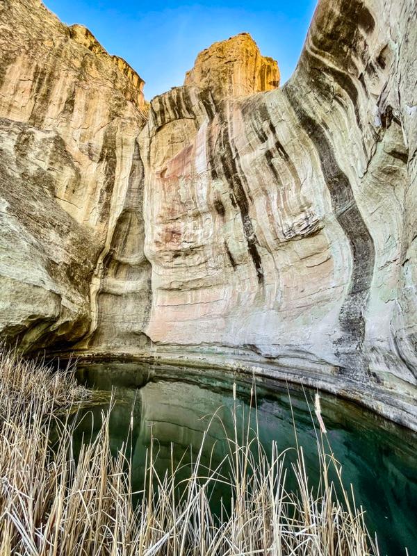
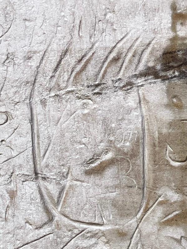
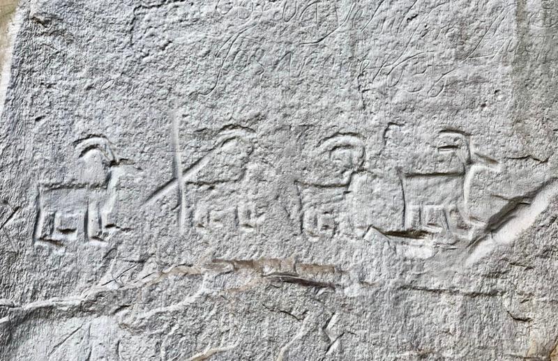
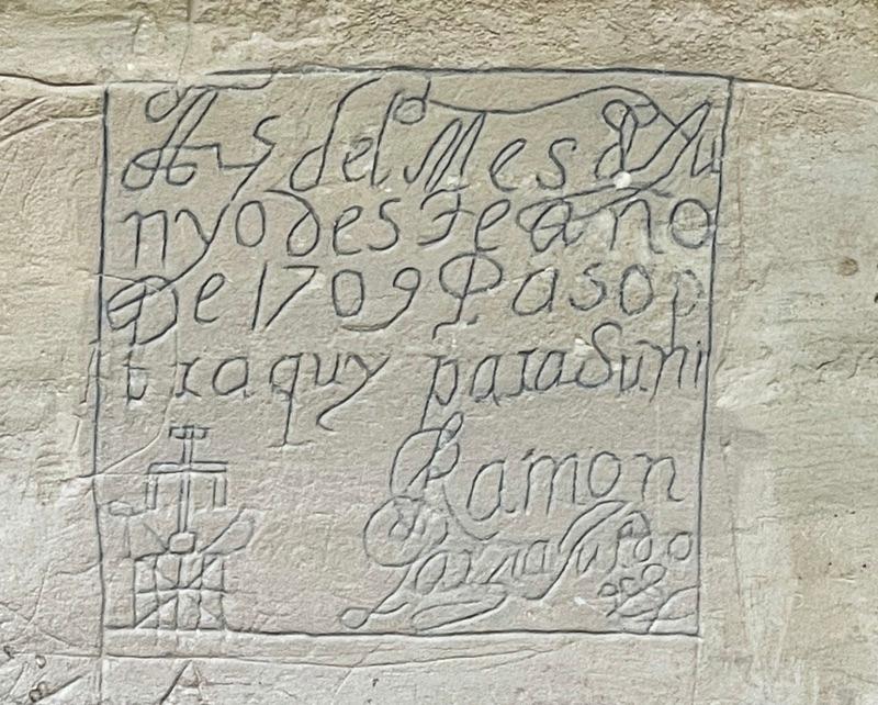
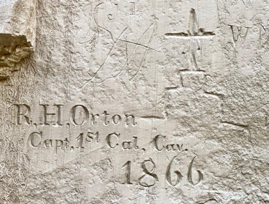
An oasis with a permanent pool of water is also nestled in at the base of a tall vertical cliff. This reliable water source was the elixir of life for many desert travelers over the centuries. Many carved their names and wrote inscriptions on the soft sandstone walls. From Native American petroglyphs, to poems written as early as the 1500s, to Calvary soldiers signing in around the 1860s and 70s, a large section of cliff near the oasis was written up in lovely handwriting.


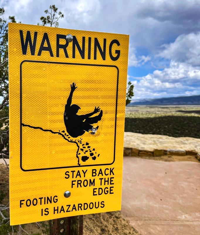
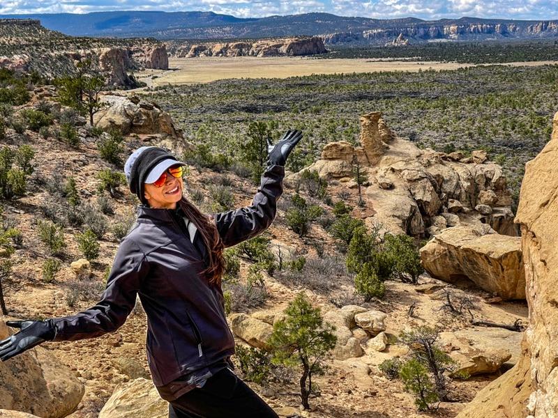
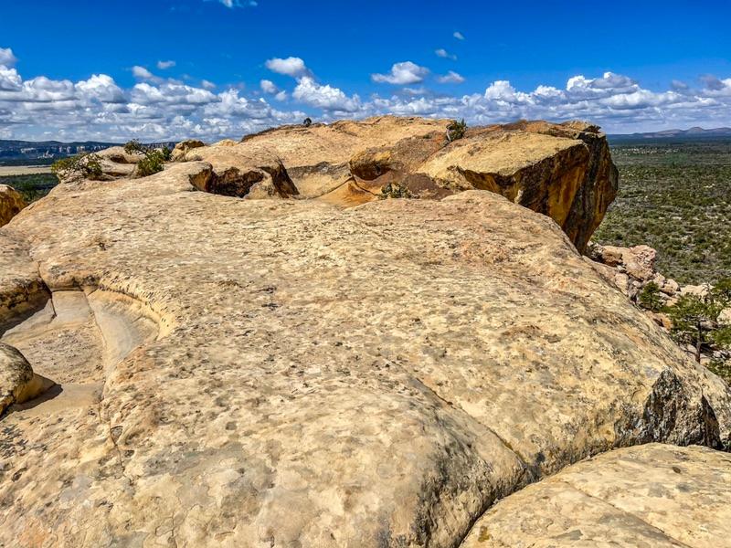
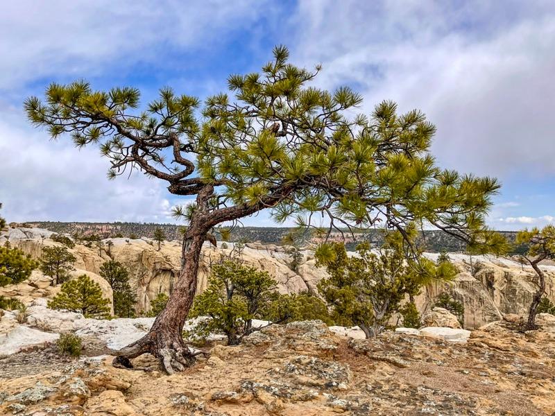
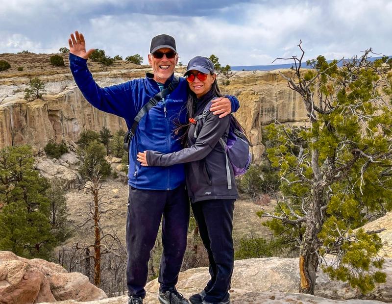
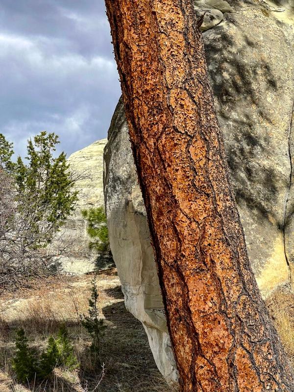
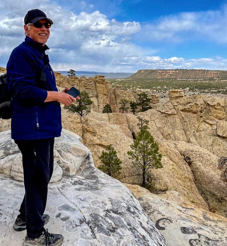
The park, administered by the BLM (I believe), had laid out a wonderful 2 mile trail that twisted and snaked up and down the cliffs and canyons like a roller coaster. Although lacking the speed of a roller coaster, it still presented us with thrills at every turn. Each step we took presented another stunning view of multi-colored forms. It was better’n a carne ride. Slowly, it began to clear and the sun peaked out now and then. El Morro was the highlight of the day.

The oasis - a permanent pool of water in a desert.

Near the oasis, many people carved their mark in the soft sandstone wall. This bear claw and the next petroglyph of a herd of animals are several centuries old.

This signature was from 1709.

This formation is called the Woodpecker Arch. From this angle it looks more like a cat regurgitating a hair ball, or a bird feeding a baby chick.

From this angle - maybe a woodpecker.

I see a guy laying down, looking out over the valley.

The 13th century village being excavated. I see a foyer, bedroom, recreation room, kitchen.......

The orange colored bark intrigued me.

Talking heads.

Dave and Wanda

Mask Up To Save Lives.

Virtual Business Card

North America . Europe . Mexico . Asia . Product Reviews . Books & Maps


Please send us your thoughts and any errors we may have missed. We're on the road and cellular service is intermittent in the remote areas. As soon as we get online, we are eager to read all of your messages.


Text: 715-252-6664 | 715-252-3326

Email: [email protected]

Visit our Website