|
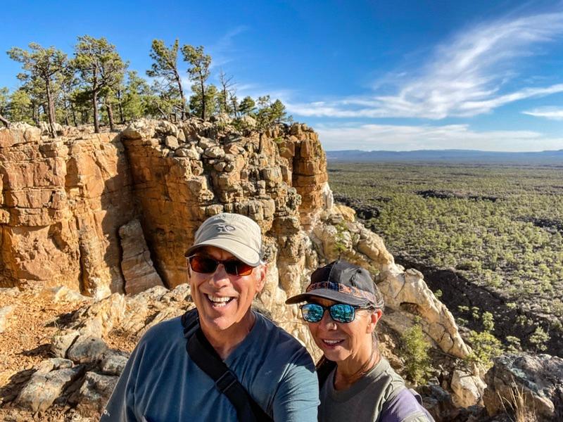
I have always been a sucker for waterfalls, even little dribbles as long as the water drips a couple of feet down. So, when I noticed a sign pointing down a gravel road indicating a possible lava falls, I slammed on the brakes, backed up, and aimed down that road. This led to the Lava Falls Trailhead.
The concept of a lava falls instantly piqued my interest. The sign at the trailhead pointed out that the 1.25 mile loop treks over a 3,900 year old lava flow that burbled out of the earth’s belly through a couple hundred vents. There are two kinds of lava: 1) A’a lava (ah-ah). This is the thick sticky stuff and it is usually associated with cone build ups. 2) Pahoehoe lava (pa-hoy-hoy). This stuff flows easier and tends to run out of vents. It’s called a shield volcano and it is the same kind of flow going on in Hawaii right now.
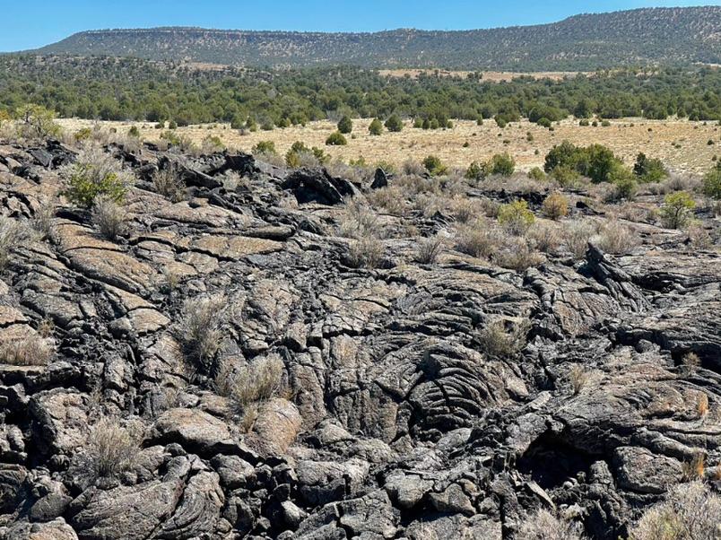
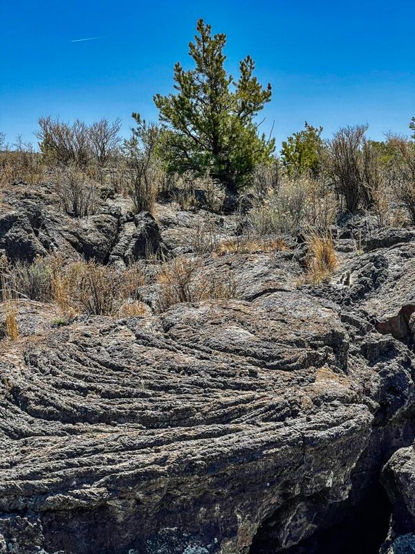
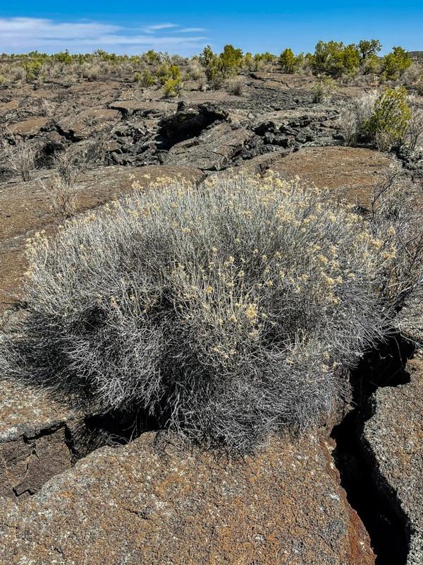
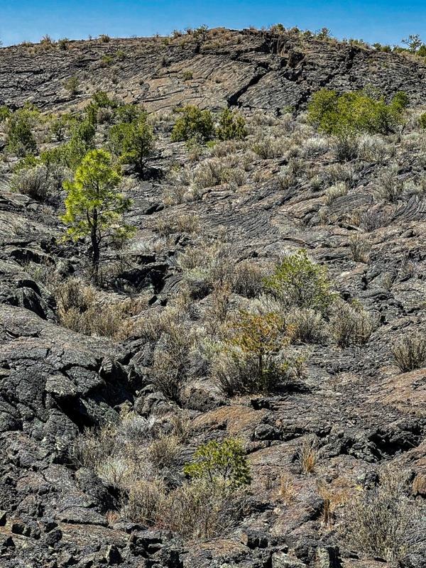
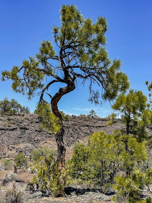
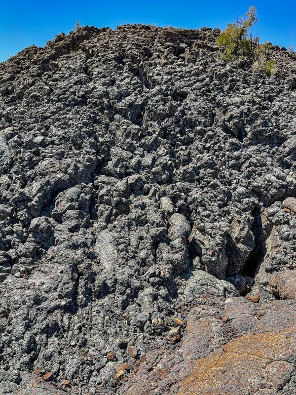
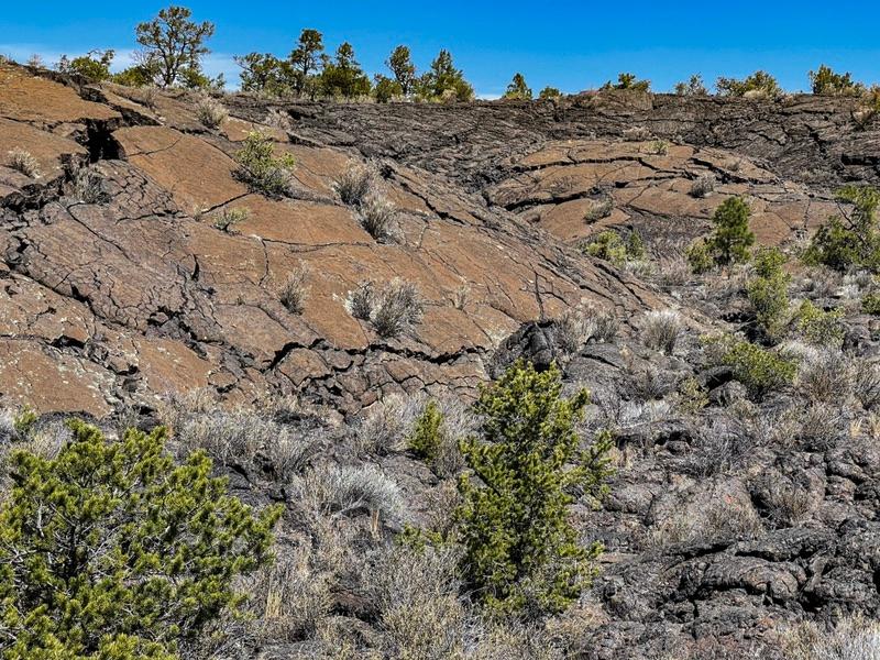
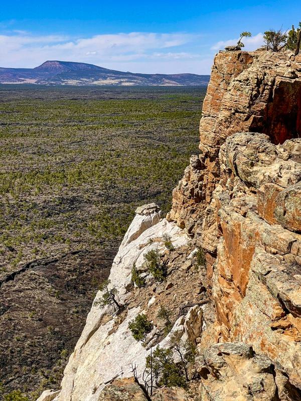
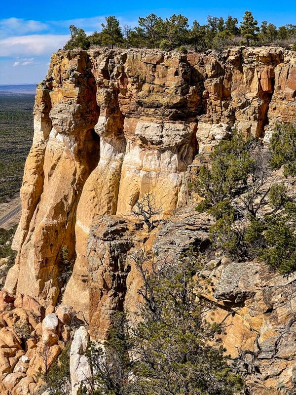
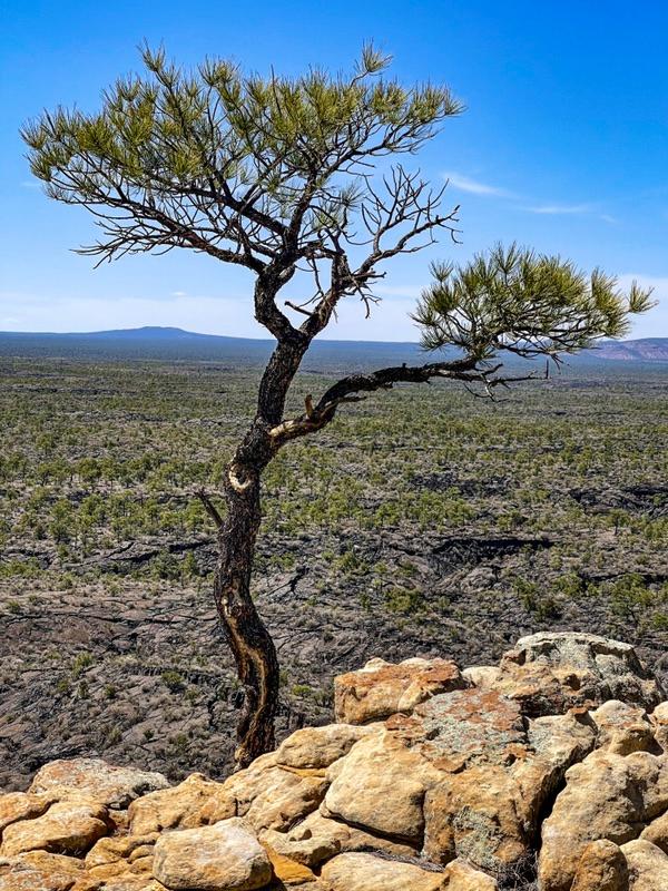
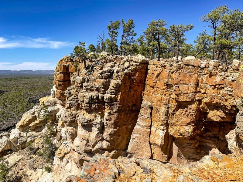
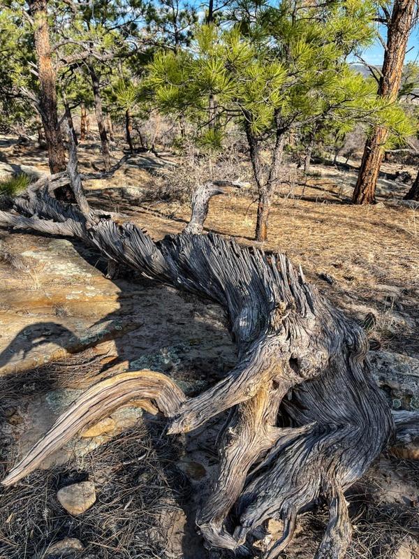
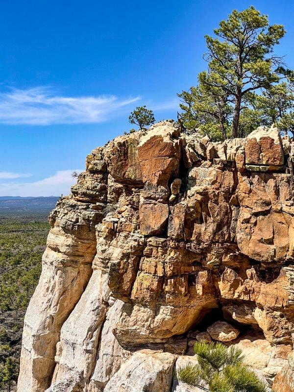
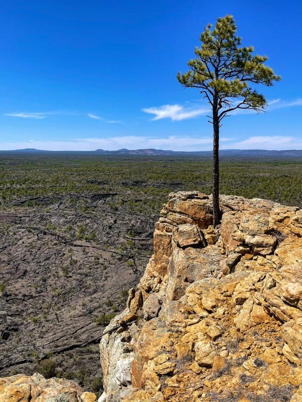
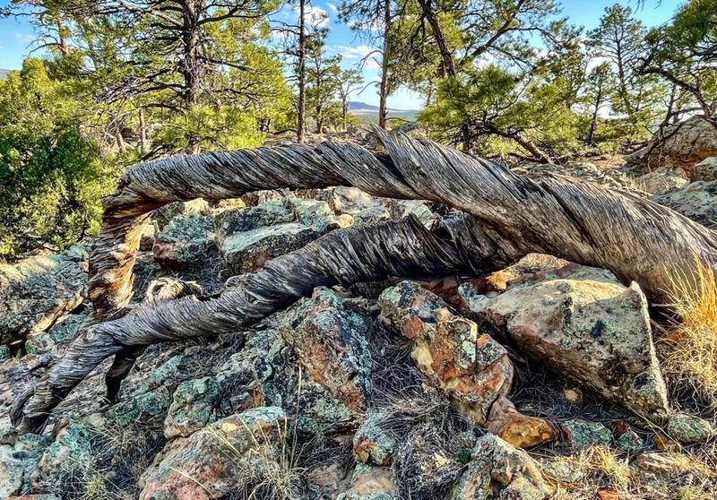
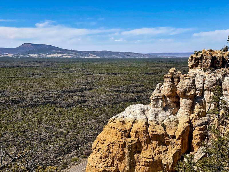
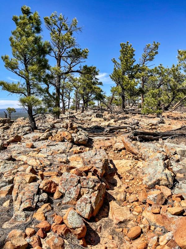
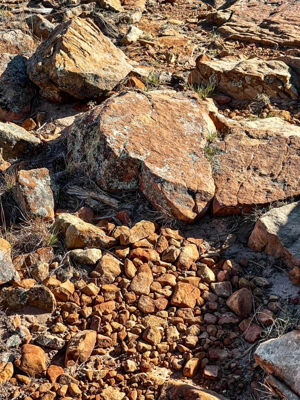
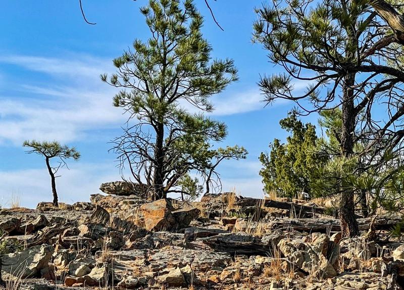
The huge lava field we walked over, called the McCarty lava flow, is mostly pahoehoe. The slabs of slag produced an alien landscape, both hideous and intoxicatingly beautiful. Even after nearly 4,000 years, the porous black and brown slabs haven’t come close to breaking down into anything resembling soil. Only the occasional grotesquely twisted dwarf pinion or ponderosa pine even tried to make a stand in the heaps of rock. Although tiny, these deformed trees are actually hundreds of years old.
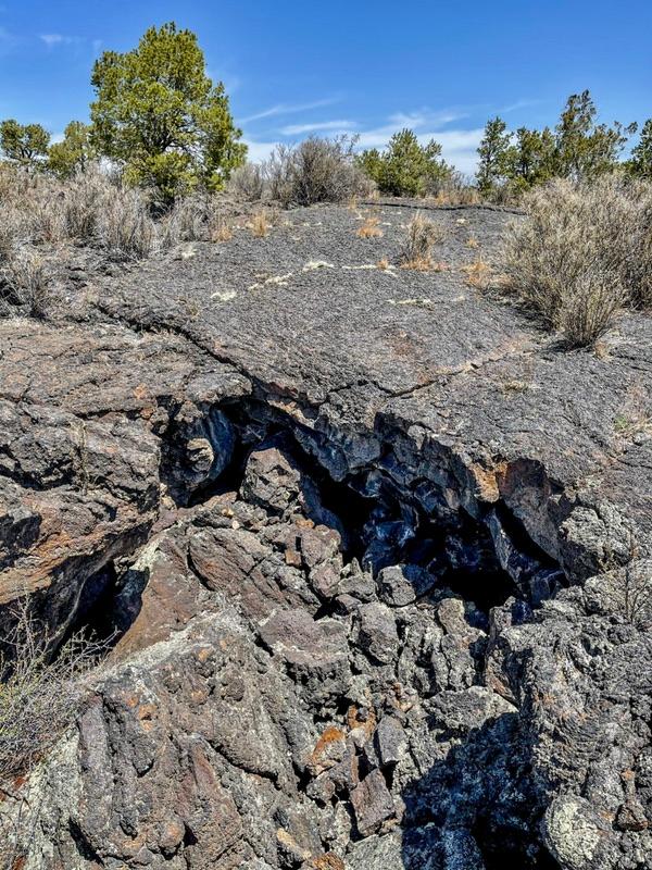
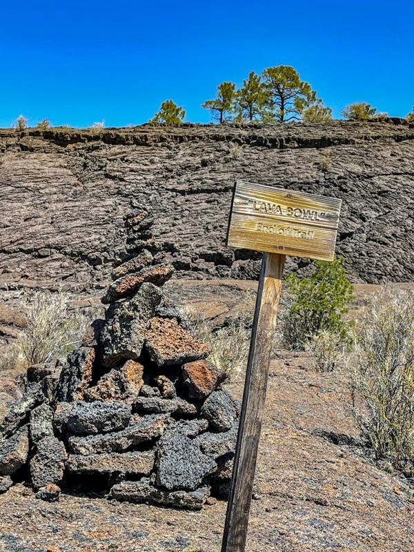
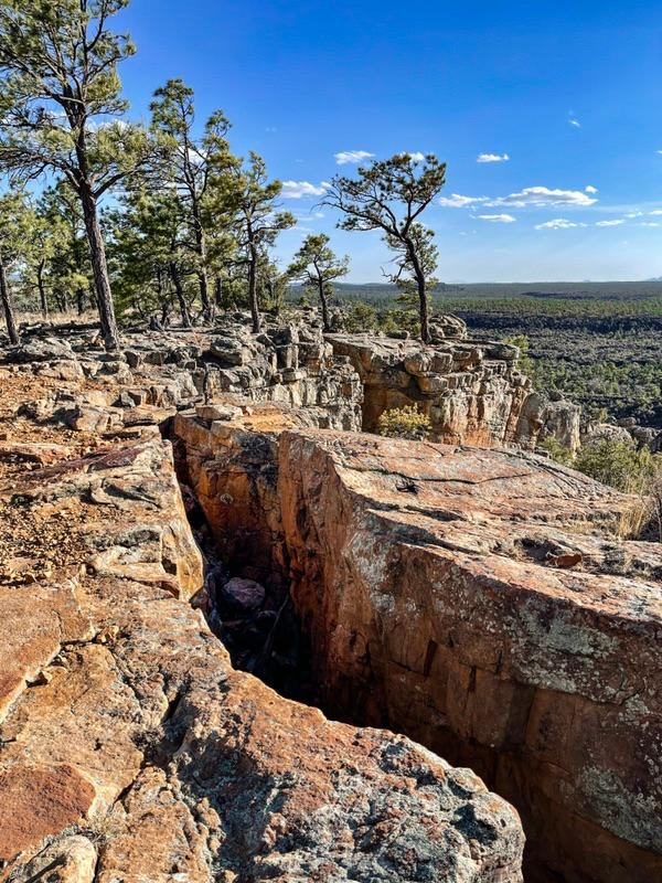
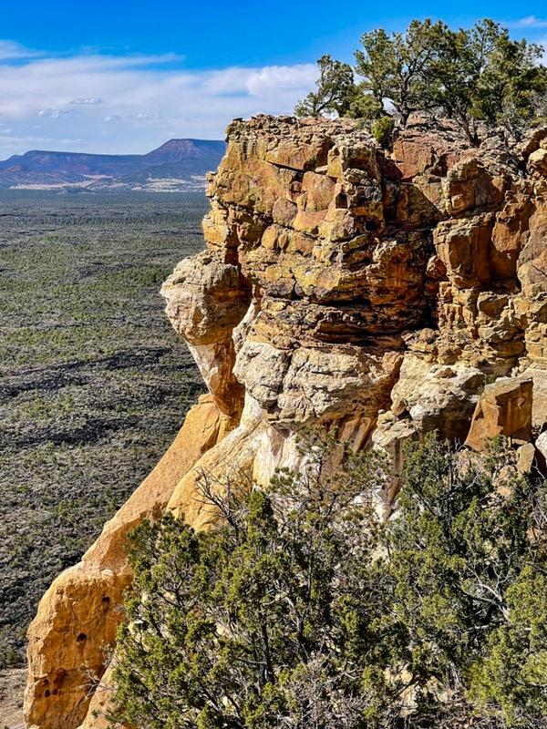
There were giant sink holes where the big slabs collapsed under their own weight when a big ancient gas bubble burped, leaving an underground void. There were flows that flowed over previous flows. At the furthest point of the trail loop, a short spur led to a giant bowl. I’m not sure how it formed, but it formed a huge grotesque natural amphitheater.
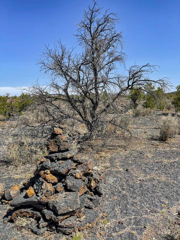
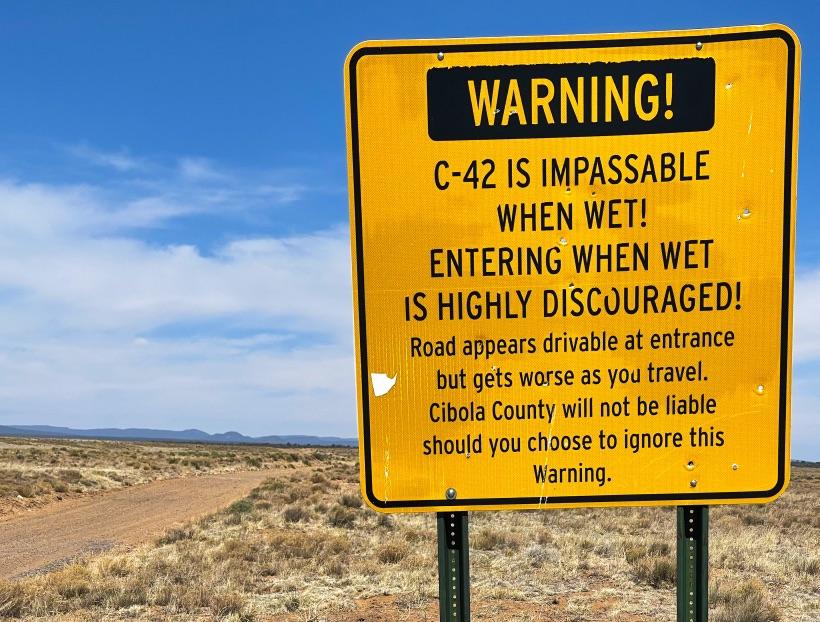
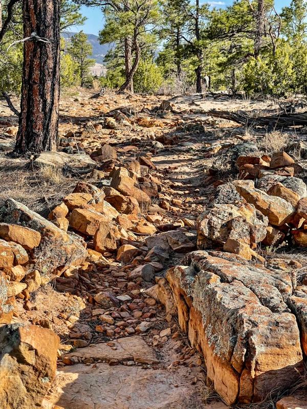
To mark the trail, piles of lava chunks were stacked every 50’ or so along the walkway. These are called cairns. Native Americans invented this system of trail demarcation in these barren wastelands, however ancient peoples all over the world used this simple but effective method.
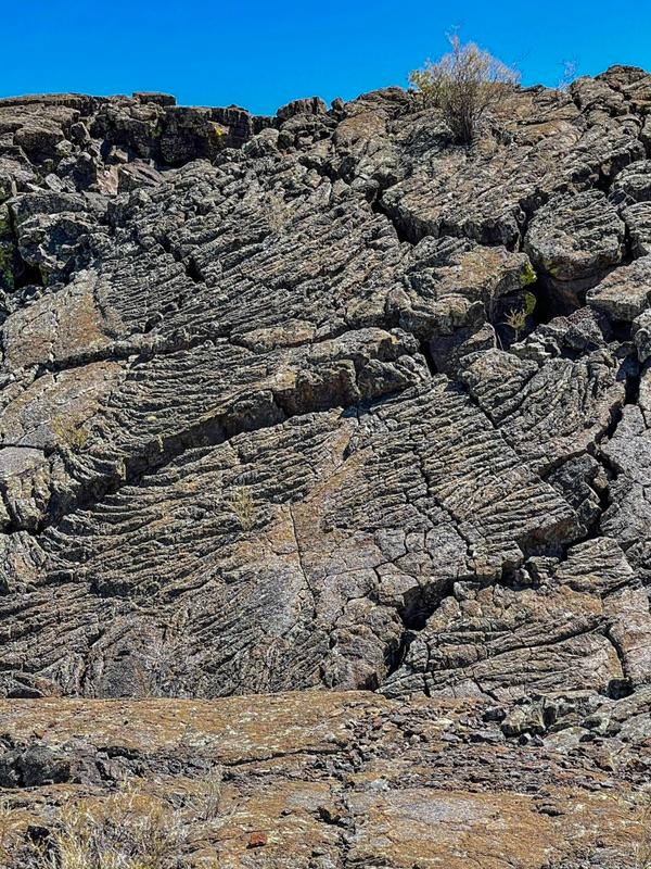
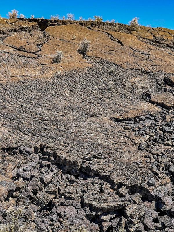
But what about the lava falls? A half mile down the trail we came across a steepish hill where a wide river of lava cascaded over a previous lava flow. It just froze into place. With a little imagination you could envision the cascading lava in the ribbed formations that are still clearly visible.
Overall, the otherworldliness of the place mesmerized me. The heaps, just haphazardly tossed and thrown about; the bits of life trying to find some kind of existence; the flows where the more slippery lava bunched up; the black rock contrasting with the browns from oxidizing iron embedded in the lava rock; and the deep sinkholes with secret little cave passages fascinated me to no end.
|