|
How does the DIG Team work?
Eric: When a plan is submitted to the County for a development or subdivision, we visit the property to verify that existing site conditions and natural resources are shown accurately on the plan, including forests, wetlands, streams, and large or significant trees.
I’ll use a special GIS-based map on my Tablet to pull up the plan while I’m at the site. The technology allows me to see exactly where my location appears on the plan and to be as accurate as possible in reporting what is on the property.
Why is this important?
Eric: By verifying what’s out there, DPZ can make the most accurate planning decisions. Site visits help ensure that all the natural resources are classified and surveyed accurately, so they can be protected during the design and construction process.
Justin: There’s also a level of trust that we build. Because our main job is to certify that the natural resources are shown correctly, we can help identify these resources early in the process so that they are known and labeled accordingly. Having accurate information early on makes it easier to plan around them and avoid unnecessary disturbances.
What are some of the things you check for out in the field?
Eric: Streams are assigned different buffers based on their location and duration of flow. Development is prohibited within the buffer area adjacent to the stream in accordance with the County’s Subdivision & Land Development Regulations. I evaluate streams to ensure they are classified correctly and that the buffer is the correct size. The location of a stream is also important, so I will check that it is indicated correctly in the plan.
I also evaluate wetland boundaries and buffers. To qualify as a wetland, the area needs to contain hydric soil, hydrophytic vegetation (wetland plants), and hydrology (movement of water). I identify the existing vegetation and dig holes on both sides of the wetland boundary and evaluate the soil profile to see if there is evidence of hydrology. I also ensure that the boundary is consistent with the criteria for a regulated wetland.
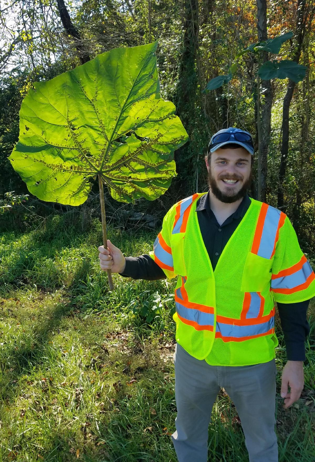
We inspect for specimen trees and make sure their location, species, and size are noted correctly in the plan. We evaluate the onsite forest and take note of any non-native invasive species. We also ensure that there are no sheds, fences, or other structures or utilities within the forest retention areas.
In addition to making sure the plan is accurate, we check for things that aren’t shown on the plan. These might be power lines, well and septic systems, and even grave markers and headstones.
All of this information is very important in protecting the highest quality resources on site during development.
What’s the most important part of the DIG Team effort?
Justin: The most important part of the DIG Team effort is ensuring that natural resources are shown correctly on plans submitted for review. The ultimate goal is ensuring the protection of natural resources to the greatest extent possible.
What is your educational background?
Eric: I have a Bachelor of Science degree in Geo-Environmental Studies and an undergrad certificate in Geographic Information Systems (GIS). I am also a Forest Conservation Act qualified professional and have received certified training in wetland delineation.
Justin: My Bachelor of Science degree is in environmental sustainability with a focus in water quality. The main focus of study was on the tributaries of the Chesapeake Bay. I am also a Forest Conservation Act qualified professional.
Favorite part of your job?
Justin: Putting the paper to the dirt. A plan seems like just a piece of paper, but actually getting out in the field changes your perspective. On a plan, a wetland is just a little hatching or unique symbol. But when you’re in it, it’s overgrown with weeds and rushes. You don’t know what you’re in for until you’re actually at the site.
Favorite place to inspect?
Justin: The most intricate site inspection we did was at Wellington Farms (former Milk Producers site). We went from multiple large farm fields, to dense woods, to flowing streams, to drainage channels, to wetlands—it had everything. And that was a really good example of how you can have a major development and still protect natural resources on the property.
|