Most landowners and developers scrutinize the flood zone that their properties are situated in at the time of purchase. It can come as a surprise, then, that the Federal Emergency Management Agency ("FEMA") can update these maps to change the risk and insurance rates for properties. Every few years, FEMA updates its Flood Insurance Rate Maps ("FIRM"). A FIRM is the official map that shows the government's estimate of flood risk by placing properties in respective flood zones.
FEMA is currently in the process of updating FIRMs in Citrus, Gadsden, Hamilton, Hernando, Hillsborough, Leon, Liberty, Pasco, Pinellas, Orange, Madison, Manatee, and Wakulla Counties.
One news report estimated that 60,000 people could be affected by these changes in Hillsborough County and the City of Tampa alone.
Another report estimated that 28,000 parcels in Pasco County could see flood zone changes. Our preliminary estimate confirms over 50,000 dwelling units will be impacted in Hillsborough County.
These updates are critically important because they could lead to properties (1) being in a flood zone when they weren't before, (2) being in a higher risk flood zone than before, or (3) having a higher base flood elevation. For example, the
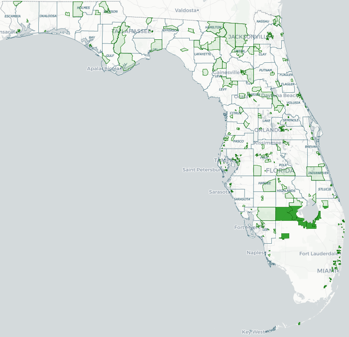
attached map confirms the extent of impacted acreage in Hillsborough County, where over 60% of the affected acreage falls in one of the above three categories. For these properties, flood insurance coverage could change, since lending institutions may legally require property owners to purchase flood insurance. Construction could become more difficult or more costly on affected properties. Finally, residential sales could be affected, as a property's perceived risk could change.
However, just because the preliminary FIRMs show an increased flood hazard for a certain property does not mean the property owner is without recourse. After the preliminary FIRMs become available to the public, FEMA opens a 90-day appeal period. During the 90-day appeal period, a property owner can challenge the proposed flood risk revisions with evidence showing the preliminary FIRMs are incorrect. This can be beneficial, since a successful challenge can reduce or eliminate a lender's requirement for a property owner to purchase flood insurance. Challenges to FIRMs require the use of technical data and, therefore, property owners should review the preliminary FIRMs and start the process of challenging them before the 90-day appeal period opens.
Alternatively, landowners can process a Letter of Map Revision ("LOMR") or Letter of Map Amendment ("LOMA") at any time, including during and after the appeal period. These processes can be used to change a portion of a FIRM or to get an official determination of how a FIRM relates to a particular property or structure. Each property requires a case-by-case analysis to determine which process is best.
Preliminary FIRMs are now available to the public in all of the counties mentioned above. During this time, property owners or their representatives can review the preliminary maps and prepare for future changes, which will occur when the preliminary FIRMs become effective (6 months after the appeals period ends). Property owners should work closely with local floodplain administrators to determine when their respective appeals period starts and expires. In Hillsborough County, for example, County staff has confirmed that preliminary FIRMs are available; however the 90-day appeal period has not started and has not been scheduled. Pasco County has opened the appeal process and appeals must be submitted by May 28.
More information about FEMA's flood hazard mapping update process can be found on FEMA's
website. FEMA has also
developed a site that can be used to compare a property's current and proposed preliminary flood zones. Our firm can provide more customized maps and data sets to assist in an initial evaluation, which may be particularly helpful for landowners and developers with multiple properties in multiple jurisdictions.
Our Land Development, Zoning & Environmental team has extensive experience advising clients in all types of environmental and land development permitting strategies, including issues related to FEMA's flood zones. We have in-house planners and a GIS Director who can assist developers, landowners, and other professionals in studying the effects of flood zone changes on various development scenarios. For more information, please contact us.