SHARE:  

February Gila Trails Update

In this Newsletter:

- Current Conditions

- Day Adventures

- Backcountry Adventures

- Spring Trail Project Schedule


Current Conditions

Improved Gila Trails Info Website


Gila Trails Info new website is finally up and running!


Check it out!


https://gilatrailsinfo.org/


Little Snow & Warm Days

Very little snow and warm days - might as well get outside.


While this is not good in terms of fire hazards and spring reliability, it is good for day trips in the Gila.


Check out Day Adventures ideas

Dry and Windy

Fire Danger is VERY HIGH


Please make sure your fires are out cold

or no fires at all, especially on the high wind days.


See the stats

The Gila without a Trail Crew

photo credit: Justin Schatz

The FS Gila Trail Crew was fired.

They make roughly $20,000 a season doing hard physical labor. Worth every penny.


How does this affect the Gila?


The FS trail crew:

1)clears the trail to Mogollon Baldy twice a year because it is in a high-intensity burn scar.

  • Fire lookouts use that trail to get to the lookout
  • Mogollon Baldy is a well-loved destination
  • This route is a part of the Gila Centennial Trail and without it being cleared, the loop is not open especially not to equine.

2) Addresses other key maintenance on the Centennial Loop, such as Turkey Feather pass.

3) Continues to make progress on the trails that suffered extensive damage in the Whitewater Baldy Fire Scar

  • including a new loop that was slated to open this year - not passable for over 13 years+

4) Lead Conservation Corps so that even more trail work can be accomplished

5) Helps address deferred and routine maintenance through out the Gila

6) Work on the CDT


AND much more.


Volunteer groups alone can NOT keep the Gila trails open.

Especially when our federal trail grants are frozen and may not be given back.

Beavers and Gila River Trails

Crest Trail Photo Credits: Marc Tarnosky

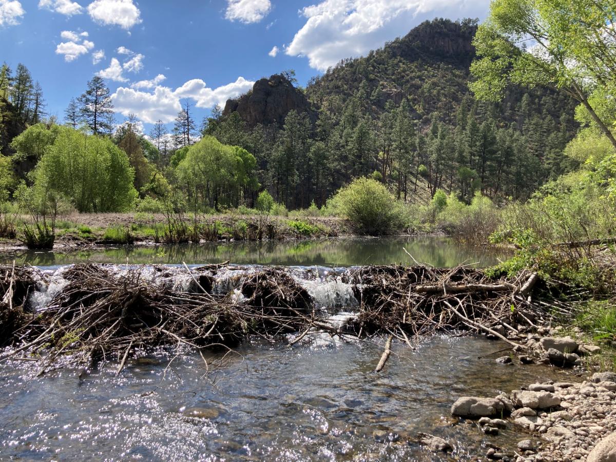
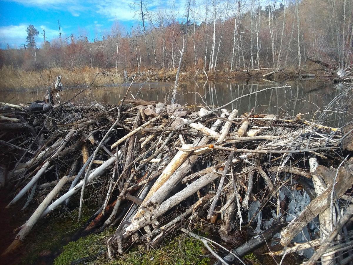
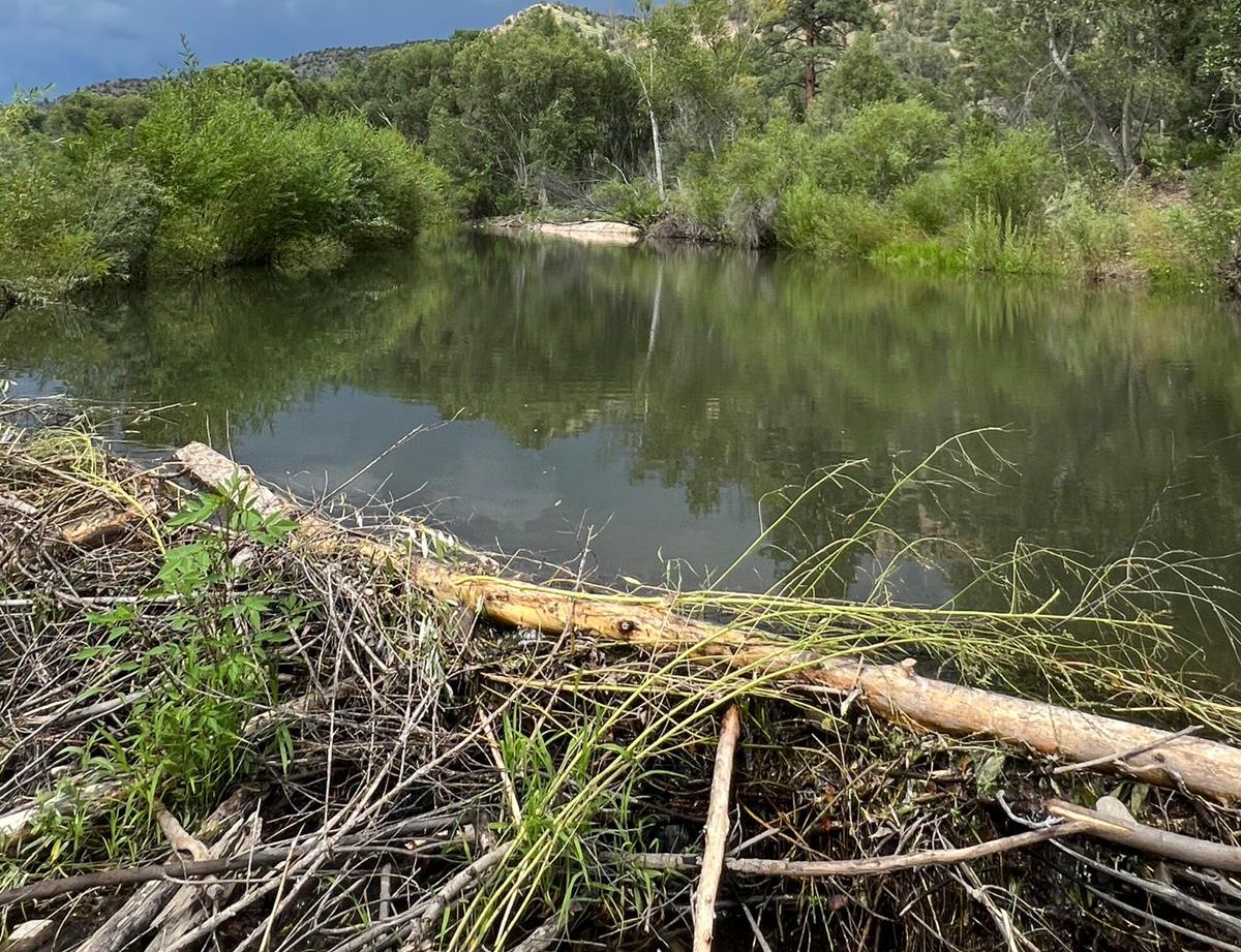
As the drought continues, the typical flood cycle of the Gila River has been postponed, allowing beaver to build higher and higher dams and more of them.

This affects travel along the river trails - especially for equine riders.


Benefits:

It is easy to complain about the beavers being "in the way" of back-country wilderness travel.

However, beavers provide an important protection against wildfires,


And floods: "Some studies have shown that beaver dams reduce the severity of flooding by forcing the water to slow and spread out, reducing momentum and damage downstream."

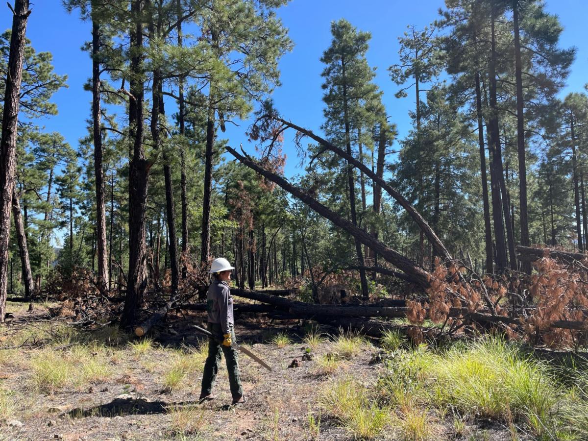
Cut banks are a major trail issue after floods in the Gila.


Learn more about beavers' effect on flooding.


Options for trail users?

  • Expect river trails to be more of a route than a trail. But this was already true due to past flooding damage and quick vegetation regrowth
  • Use the river as a place to camp next to the water but then travel along the mesa trails. Many of the switchbacks leading to and from the river have been maintained in the last few years, making this type of travel possible.
  • If you still want to travel along the River Trails, then be prepared for very deep crossings.
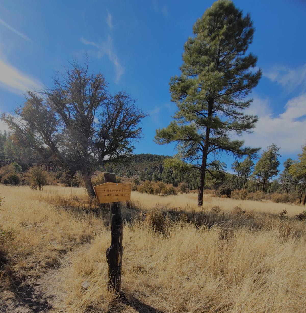
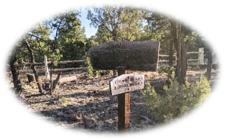
  • Additional trails are needed to create ways around the river trails to access other part of the Forest. Here is an example of a new trail route that could be beneficial in avoiding beaver dams. (note this route is not yet approved for construction)
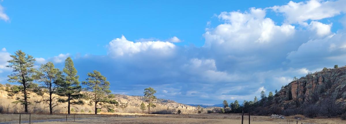


Explore

Check out the beaver dams along the Middle and West Fork.

One along the West Fork is just upstream of the first and second crossing and is over 5 ft tall.


The beavers are inspiring engineer masters.

And the ponds behind the dams can be wonderful swimming holes in the heat of the summer.


Adventure at your own risk.

Trail conditions change.


Recreate Responsibly

Day Adventures

EE Canyon and Little Creek Area

This is a nice loop from near the Cliff Dwellings, offering a variety of views and traveling through multiple ecosystems.


During most spring seasons, this loop is not viable due to flooding along the West Fork. This year that is not the case.


This trail has 3 river crossings and a chance to see some impressive beaver dams in addition to views of Granite Peak and the Aldo Leopold Wilderness when high on the ridges.


This loop was just improved this winter.


Additional options for extending the day hike include hiking down to Little Creek.

View Trail Info

Backcountry Adventures

Overland to the Meadows

With limited water, camping along the rivers is key. But the mesa trails are well maintained and easier to travel. So why not enjoy both.


Here is a 28.5 miles loop option.


Leaving from TJ Corral Trailhead, take the Little Bear Trail # 729 to Lilley Park Trail # 164 to Big Bear Trail #28 all the way down the Meadows. Be sure to stop at the overlook before dropping down.


On the return, you can climb back up the switchbacks, take the Prior Creek Trail #156 to Woodland Park Trail #12, and back #164 to but turn off on Big Bear Trail #28 to get to water ( and maybe camp) and then return to TJ Corral via West Fork Trail #151.


Interactive Map
Geospatial Map


If you want a longer trip, crisscross between the Middle and West Fork, making the rivers evening camps while exploring the myriad of trails/areas along the mesa. Check out Hells Hole and the Coop Mesa Trail # 730 (my personal favorite)

Join Us on a Trail Project in 2025

Spring Trail Project Schedule

 Backcountry Projects

Mimbres River Trails

*Day Project*

Project Details

Date: March 19th, 2025


Trail Work: mostly brushing with some logging, spot tread and trail markers


Project Difficulty: Moderate due to elevation change


Map: https://caltopo.com/m/R1FNG15


Hiking/ riding during the day: 6 miles round trip

Check out the rest of the spring Trail Project Schedule


Includes:

Brushy Mountain Trail #403,

Packsaddle Area and West Fork Corral Trail # 814,

CDT near Brannon Park and Big Timber Trail # 95,

and more.

Enjoy Gila Trails!

View from near Sam Martin Spring

Donate