We're Open
Year 'Round!
Our shop is normally open:
Monday - Saturday:
10am - 5pm
Sunday:
12 noon- 5pm
We're also available after hours by appointment, and you can
shop online 24/7 at:
Or give us a call at:
508-945-1660
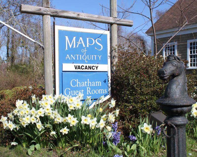
If you or your loved-ones need accommodations, send them over to our converted 18th century farmhouse,
Chatham Guest Rooms
. We have been very
well reviewed
on TripAdvisor!
Planning your summer adventure?
If you visit the Cape, we recommend you stay in one of our rooms at Chatham Guest Rooms! The rates are reasonable and you will be staying in the building that is home to Maps of Antiquity! You can pop in to look at maps quite easily during business hours. Book early because the summer will fill up quickly!
|
|
|
HELLO MAP LOVERS,
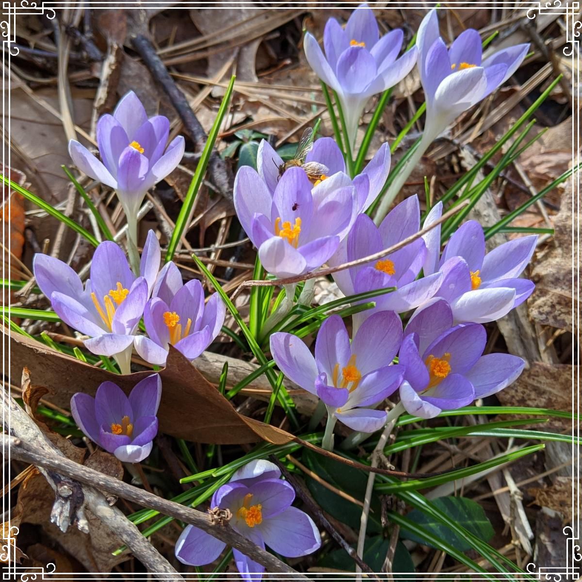
Spring is on the way here on Cape Cod! The temperatures are warming up and a few early flowers are beginning to emerge. The Guest Rooms are booking quickly for the summer and with daylight savings behind us, it truly feels like we are on our way to sunny summer days. Danielle traveled to New Zealand for a big adventure. Bob is happily anticipating the gardening season and planting around the new construction at their home. Perri is training for her next marathon and thoroughly enjoying the warmer weather. Many of the photos at the beginnings of our recent newsletters were taken during one of her runs! We hope Spring is bringing you good things as well.
We have an interesting assortment of new items that vary greatly in age, style, price, and size. We hope there will be something intriguing for everyone amongst the new additions!
As always, you can see our recent acquisitions by
visiting our Newly Listed category, which is updated as often as we can manage. If you are looking for something specific, we recommend using the 'Search' function at the top of our website or the menu on the left side of the web page. It is advisable to v
iew our website on a computer (not mobile) for best image quality and enlargement.
|
|
New Items for March 2020:
(in no particular order)
|
|
|
| Anglesey, Antiently called Mona. Described 1610. |
|
|
| Merionethshire. Described 1610. |
Ships, putti, monsters, and more decorate these maps of parts of Wales by Speed. John Speed is one of the best known English mapmakers of the early modern period. These maps feature the wavy water and Spencerian script that are distinguishing features of Speed's maps. Can you spot the mermaid admiring herself in a looking glass?
All reproductions are clearly indicated.
|
|
|
| Hyannis, Centerville, Hyannis Port |
Also new:
Perri has been enjoying creating these unique maps using the 1858 wall map of Barnstable, Dukes, and Nantucket Counties. Rather than making a town map for Barnstable, we decided to do a few village maps because we already have a reproduction of the 1856 map of Barnstable available. We can make custom reproductions of other villages on request.
Remember, we can make all sorts of custom maps by cropping, changing colors, or adjusting them in various ways. Just stop by the store or give us a call!
|
|
|
| Carte De La Californie Et Des Pays Nord Ouest separes de L'Asie par le Detroit d'Anian... |
This is a 2 on 1 map showing two early mappings of the west coast of North America, the first after Vischer, the second after Plantius' World map. Both show Quivera, Baja and a similarly projected east-west coastline. Both maps showing the fictitious Strait of Anian at the top; it was part of the legendary Northwest Passage, the long hoped for link of the Pacific and Atlantic Oceans, whose existence many explorers attempted to prove, and which James Cook challenged in his third voyage of 1778. Diderot's maps were one of the first surveys of comparative cartography, tackling a number of the early misconceptions of the west coast of North America and the Northeastern Asian Coastline.
|
|
|
| Invasion and Total War Victory Maps |
World War II history buffs will love this interesting map. It is a two-sided folding map published in 1942. It shows a variety of weapons and vehicles and explains that is it "A battle map to set the stage for 'total war' on land and sea...." The V's for victory are used decoratively throughout the border, which contains Morse code for the letter V ( ...-). We have had this map once before and it did not stay in the shop for long! If you love it, place your order soon!
|
|
|
| Abraham Lincoln; A Pictorial Outline of the Life of the Sixteenth President of the United States |
Spanning parts of Illinois, Indiana, Kentucky, and Washington DC, this interesting map shows the life of Abraham Lincoln with a variety of events depicted along with illustrations.
|
|
|
| 1939 Worlds Fair Map Booklet; Colgate University Map; California Lost Mines and Ghost Towns Map |
We have many wonderful new pictorial maps, including the items pictured above. Some other new items include another map of Colgate and a map of Idaho, Montana, and Wyoming that features maps of the National Parks.
|
|
|
| Botanical prints by Hooker,1831 |
Ferns are a beautiful choice for botanical prints because they have a sophisticated appearance and their colors and shapes will look great in all seasons and settings. You truly can't go wrong with greenery!
|
#8: Coastwise Cruising Charts
Made in the 1940s and published by the Socony-Vacuum Oil company, these charts are packed with information. They were apparently made for pleasure cruising, with helpful hints to would-be navigators and illustrations of various interesting landmarks. Each chart is double-sided, with one side that features Cape Cod and the coastline going north.
|
|
|
| A Pictorial Map of Spain and Portugal by Ernest Dudley Chase |
It may already be apparent, but we have a particular fondness for maps made by Ernest Dudley Chase, a Massachusetts native who made a variety of handsome and delightful pictorial maps and retired to Harwich, the town next to us. This is his map of Spain and Portugal, featuring beautifully detailed illustrations of people and notable edifices. The decorative cartouche has sea monsters and the coats of arms of each country. Additional illustrations of buildings decorate the corners.
|
#10: Small English County Maps
|
|
|
Rutlandshire,
Herefordshire,
Cornwall, Worcestershire |
These small and inexpensive maps of the counties of England by John Carey are particularly interesting because they indicate country estates of wealthy or noble families and the locations of Roman ruins, as well as towns, cities, roads, and some topography. Each map comes with a page of text about the county as it was in 1787.
|
|
 |
| Find us on Social Media for more updates |
Do you tweet, follow, like, and pin? Well, Maps of Antiquity has an active Facebook page where we post map-related articles, unusual maps and prints that we add to our website, company news, and answers to frequently-asked questions.
On Pinterest, we display some of our maps and prints and add opinions and comments about specific pieces. We also provide boards with decorating ideas.
On Twitter, Maps of Antiquity offers links to articles and brief news. We also periodically update Google Plus and LinkedIn with company news and product information.
Follow us on Instagram for fun posts like #MapMonsterMonday and snapshots of the shop!
So if you are spending time on social media, be sure to look us up. Also, if you have a preferred social media where you think we should be active....let us know!
|
|
|