Conclusion
Survey Mapping
with a drone is an art form that surveyors can master with professional instruction and lots of practice.
Aerial mapping has been around since 1941 when the National Map Accuracy Standard (NMAS) first instituted standards for film photography.
Digital photography came into existence and the mapping standards were updated to include this format by the American Society of Photogrammetry and Remote Sensing (ASPRS) which is the current standard.
Drone mapping is now an everyday event that many surveying and engineering firms have integrated into their daily business models.
To get really good at drone mapping and the technology to process the imagery takes lots of practice to get professional results.
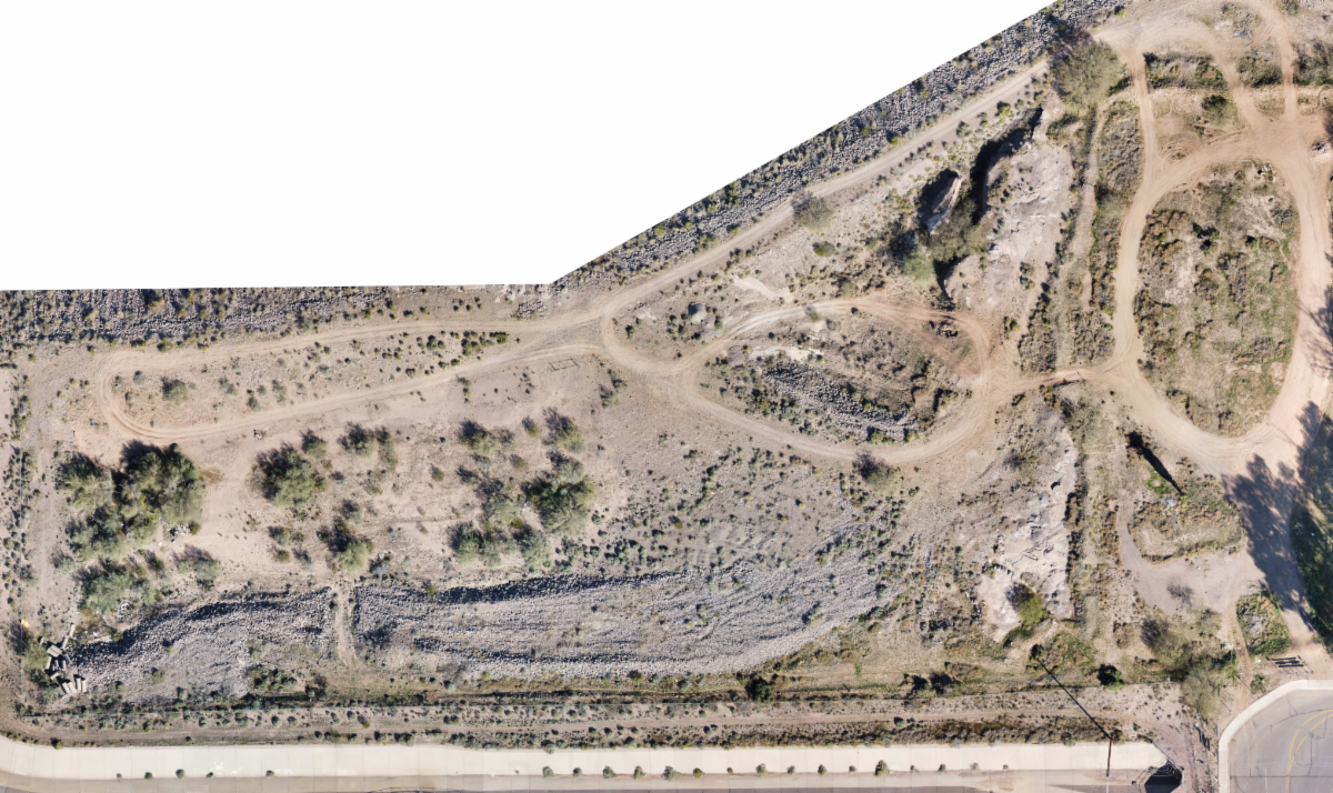
The Mavic Mini is a low cost professional drone that is capable of producing 2D and 3D mapping when flown under the right conditions and flight parameters.
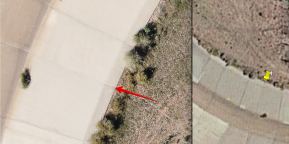
GIS Mapping is easily obtainable with this little drone and Google Earth extracted Ground Control Points.
PRACTICE - PRACTICE - PRACTICE