The Bar Harbor Formation would later be metamorphosed. This slight metamorphism left the sediment layers relatively undeformed, mainly fusing sand grains together and forming crystalline masses or concretions along some bedding planes. The Mount Desert Island and the Porcupines have NO sedimentary rocks.
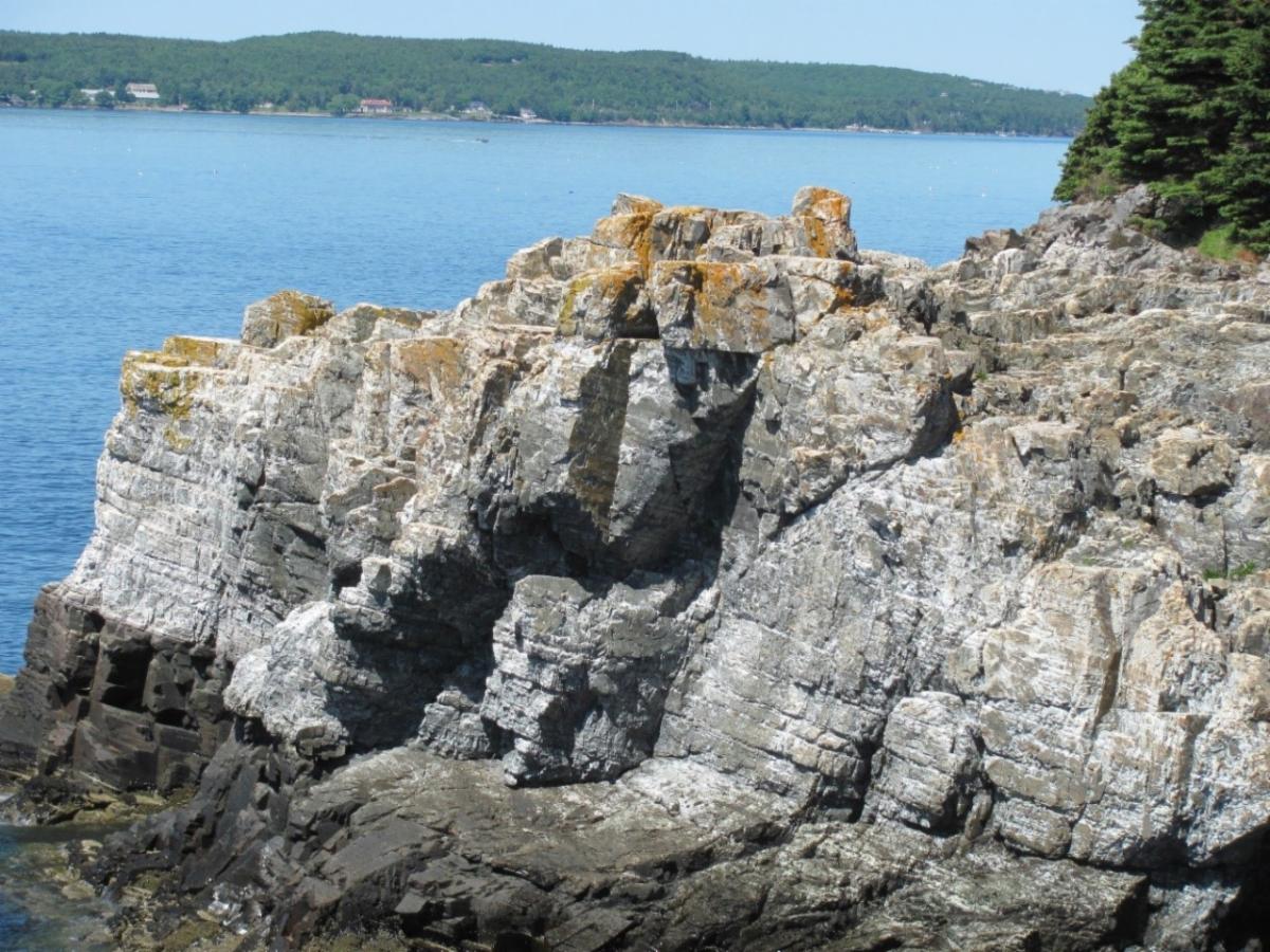
In some areas the BHF has been subjected to higher temperatures by intruding igneous masses. These have left the BHF looking similar to metamorphic schist or even igneous rocks as you see on Great Head. You have to look closely to see the bedding planes.
The BHF originally covered all the area of the Island. Intrusions and 400 million years of erosion should have removed all of the BHF. It has been preserved on the east side of the Island due to the down tilting of area during later tectonic activity.
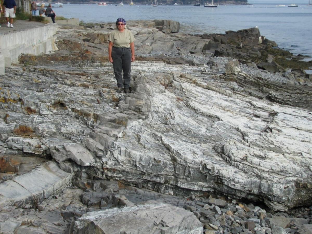
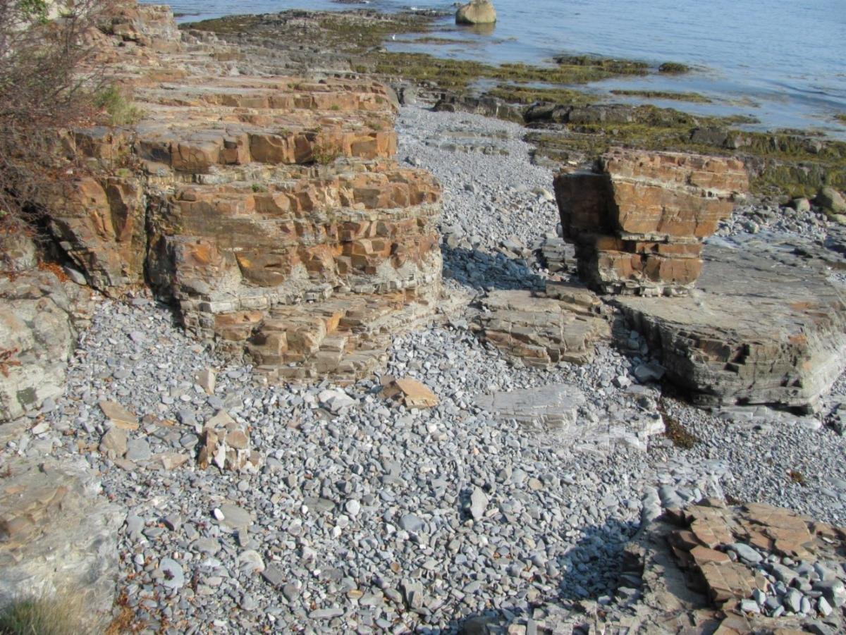
The best place to see the BHF is to walk the Shore Path in Bar Harbor. (Geologists name units based on where they were first described.) Start from the Municipal Pier in Bar Harbor and follow the path along shore. The layers above the tide line are reddish brown due to the oxidation of iron. Wave erosion keeps the layers below the tide line gray/white.
As you walk south along the path the layers here have been slightly metamorphosed and are gently warped into an anticline.
Opposite Grant Park there is a large boulder perched on the BHF. This is a glacial erratic, a piece of Lucerne Granite from the Lucerne Hills picked up by the glacier and left here about 15,000 years ago.
Farther along watch for dikes or igneous rocks cutting across the BHF. The dikes create higher formations that cut across the layers of the BHF. The dikes become high points on the landscape because they are more resistant to erosion.
Back along the east side of the Island (toward College of the Atlantic and the Ovens) the BHF has been cooked by igneous intrusions that have made it hard to see the original layering.