|
Late 1800s and NOW!
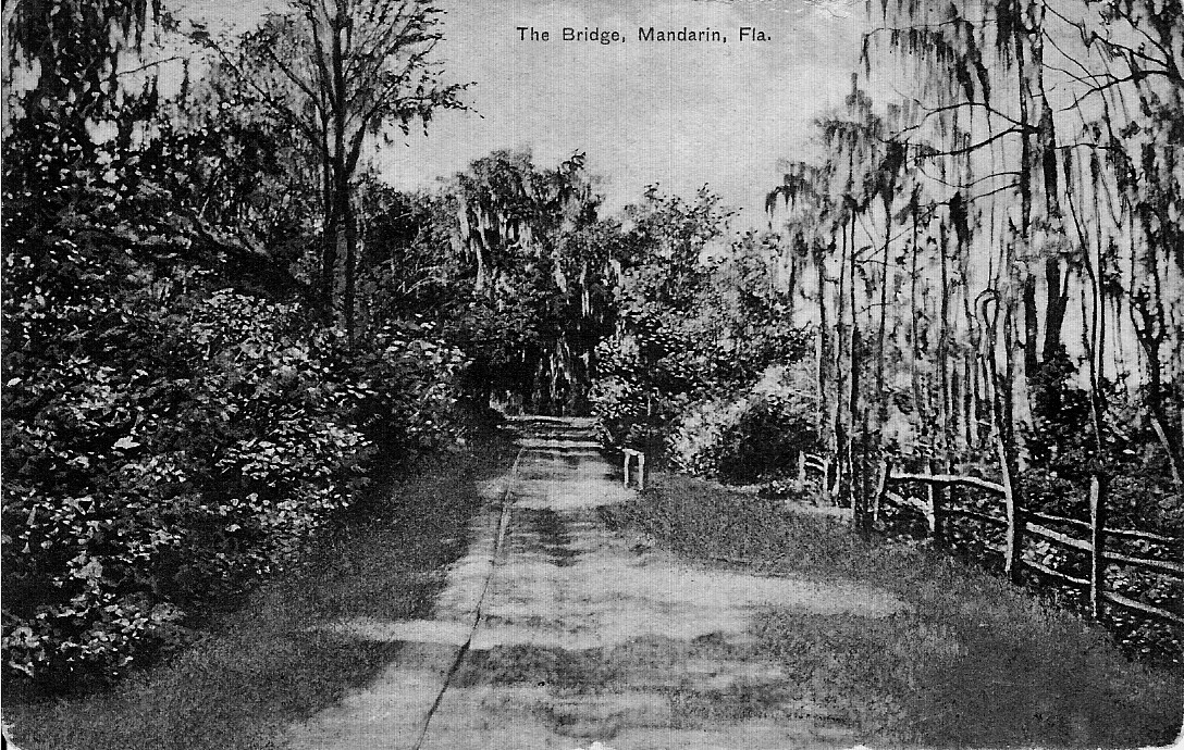
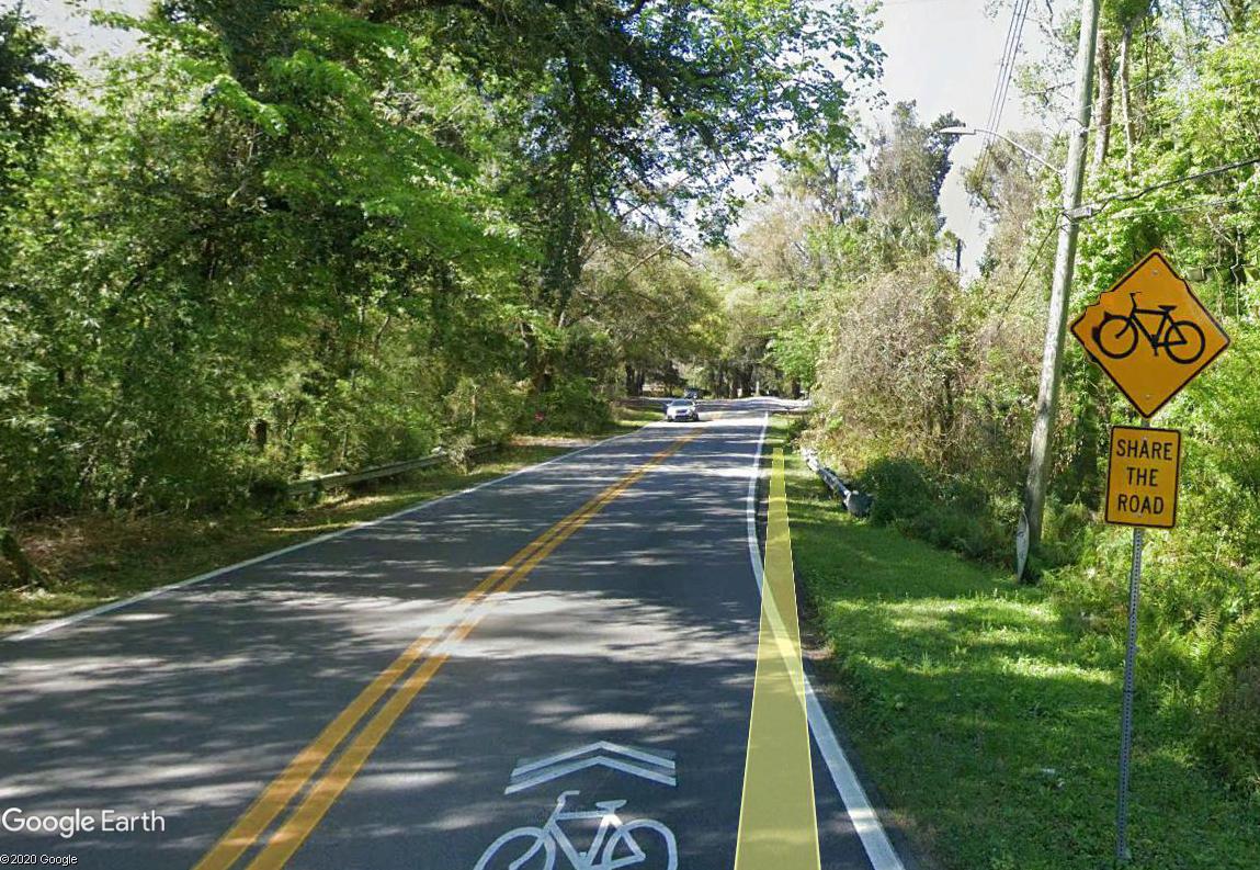
Our beloved Mandarin Road! Even though it begins and ends at San Jose Blvd., many consider this point in the road important because it marks the entry into the beautiful canopy of live oaks for which Mandarin is so well known. The pictures are located just west of the Walter Jones Historical Park, at the point Loretto and Mandarin Roads converge, cross the bridge and go up the hill to the Mandarin Cemetery.
This road was known by several names in the past, including: River Road, St. Johns Ave., Highway 47, and today Mandarin Road. For most of its history the road was unpaved and sandy, making it difficult to travel. Later it was paved with crushed oyster shells that made it easier for automobiles to travel on it. We "think" the name of the creek that is there at the bridge is Reed's Branch, but the City of Jacksonville maps of today label it as "Mill Creek." We need to do more research on that, so please help us out if you know anything about it.
Today we wind our way around the ancient oaks, past the Cemetery, the Church of Our Saviour, many historic homes, the horse trough, the Mandarin Community Club and the 1911 Store and Post Office....and we realize this part of the road has really changed very little.
|