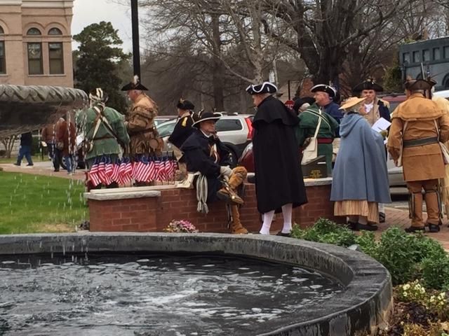
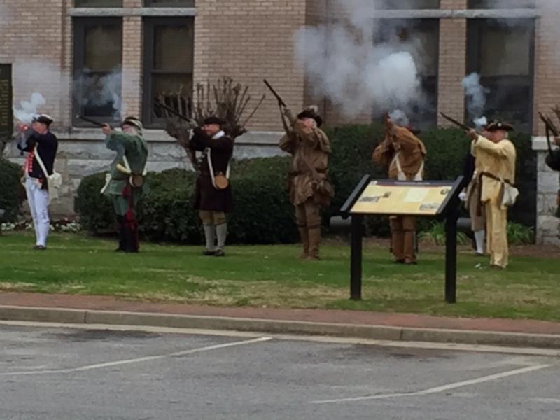
Discoveries at the Kettle Creek Battlefield
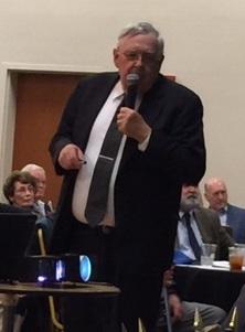
GPLT attended the Kettle Creek Battlefield Association's Annual Banquet where guest speaker, David Noble, presented "Discoveries at the Kettle Creek Battlefield". Mr. Noble discussed the cutting edge technology that is currently being used to better understand the area and who might have been there, they are: drone LiDAR and Mitochondrial DNA analysis.
LiDAR is a remote sensing light detection and ranging technique which has recently been used by archaeologists to discover fortifications, roads, abandoned villages, foundations, graves and rock structures. Doing aerial data collection using LiDAR with drones instead of airplanes is a relatively new land surveying technique, which is based on high precision laser scanners, the Global Positioning System (GPS), and Inertial Navigation Systems (INS). These three technologies combined allow for incredibly precise 3D mapping. A LiDAR sensor, which is capable of projecting seven million points per second in a three dimensional pattern over the ground surface, is attached to a drone that is flown at a height of 200 feet over a subject area. LiDAR measures the distance to a target by illuminating that target with a pulsed laser light and measuring the reflected pulses with a sensor. The differences in the amount of time it takes for the laser to return, and also in the wave lengths, are then used to make digital 3D representations of the subject area.
Mr. Noble presented some of the 3D images that have been generated and showed a comparison of these results to hand drawn maps created during the time-frame of the Battle at Kettle Creek. The accuracy of the LiDAR analysis was astounding.
With the prior discovery of 18 possible Revoluntionary War Soldiers' graves on the battlefield, in 2019 the Kettle Creek Battlefield Association authorized the opening of 8 graves to verify the contents using Mitochondrial DNA analysis.
Mitochondrial DNA (mtDNA) is stored in specialized parts of cells called mitochondria and is only passed down from an individual’s mother. Each cell can contain hundreds of mtDNA. Because mtDNA is present in higher numbers than nuclear DNA, it is more likely to survive intact in ancient remains and/or the soil where ancient remains once resided.
Soil samples from graves across the battlefield were sent to the Paleo-DNA Laboratory at Lakehead University in Ontario, Canada for analysis. Seven of the soil samples tested positive for human DNA.