We're Open
Year 'Round!
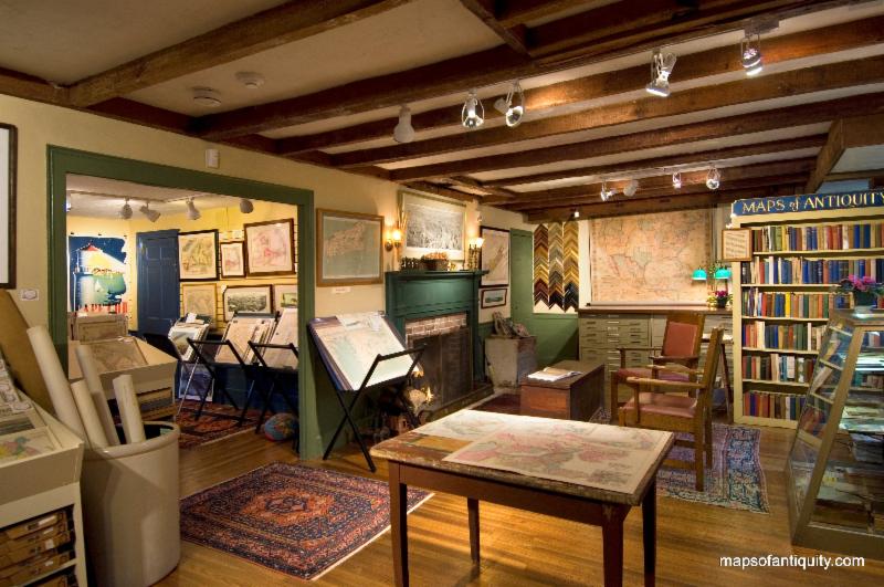
Our shop is normally open:
Monday - Saturday:
10am - 5pm
Sunday:
12 noon- 5pm
We're also available after hours by appointment, and you can
shop online 24/7 at:
Or give us a call at:
508-945-1660
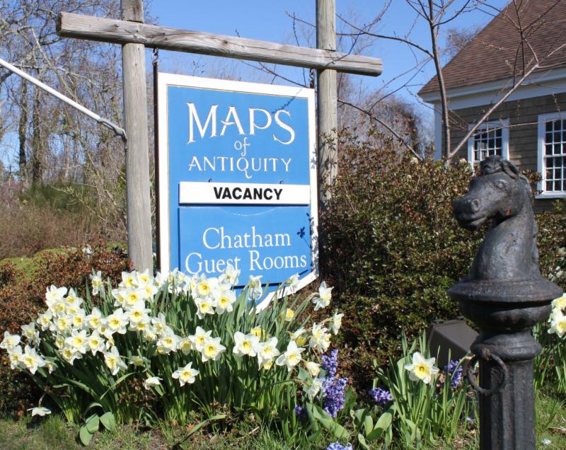
If you or your loved-ones need accommodations, send them over to our converted 18th century farmhouse,
Chatham Guest Rooms
. We have been very
well reviewed
on TripAdvisor!
Looking for a quiet winter getaway? Planning your summer adventure?
If you visit the Cape, we recommend you stay in one of our rooms at Chatham Guest Rooms! The rates are reasonable and you will be staying in the building that is home to Maps of Antiquity! You can pop in to look at maps quite easily during business hours.
|
|
|
DEAR MAP LOVERS,
We hope that this newsletter finds you all well. February can be an odd time here in New England. We can sense the coming of Spring; we notice the lengthening of the days and the increased warmth and cheerfulness of the sun, and yet we are still in the depths of Winter. The temperatures rarely stray far from freezing, although we do enjoy a day here and there that tantalizes us with sunny, 40+ degree weather. Slowly, slowly the seasons move and before we know it the flowers will be awakening from their long sleep. How delightful it will be to see their cheerful faces! The most pleasant part of this month has been the enchanting sounds of owls hooting in the distance. It's the little things, don't you agree?
In this quiet time of year we have more time to devote to our inventory, and we have been adding as many new maps to our website as possible! We are still open everyday, so please feel free to stop by if you are in the area. We may be closed here and there, so we recommend you call ahead if you will be making a special trip.
As always, you can see our newest maps by
visiting our Newly Listed category, which is updated at least once a week. If you are looking for something specific, we recommend using the 'Search' function at the top of our website or the menu on the left side of the web page.
|
|
New Items for February 2019:
(in no particular order)
|
This collectible map of Texas
does not have a date printed on it, but it is estimated to have been published around 1960. It features illustrated scenes and has two keys. The key at the right locates 26 historical points of interest with their explanations. The key at the left locates 17 important Texas Roads, Trails and Wagon Routes.
|
#2: San Francisco Harbour - 1865
Published b
y the British Admiralty Hydrographic Office, this chart was originally created in 1856 and has corrections up to 1865. It i
ncludes the city of San Francisco, Oakland, Vallejo, and the coast to Drake's Bay and Point Reyes and at the top center are four handsome recognition profiles.
|
#3: Roanoke Island... - c. 1927
This pictorial map of Roanoke Island and the vicinity in North Carolina was made by Day Lowry and copyrighted by Elaine Cochran Goode, c. 1927. It
has many illustrations of sunken ships, local peoples, native settlements, and a large illustration at bottom around the cartouche.
|
#4: Johnson's California, Territories of New Mexico and Utah. - 1860
A rare and interesting map of
California, Nevada, Utah, Colorado, New Mexico, and Arizona with interesting and unique boundaries, this map features emigrant trails, geological features, and political divisions that never officially existed. It was published during a great time of expansion and change in the US West, just after the Gadsden Purchase and just before the Civil War.
|
#5: Map of the City of Quebec with Historical Notes - 1932
If you love bright and cheerful maps, you will adore this
pictorial map of the city of Quebec, drawn by S.H. Maw and published in 1932 by Librairie Garneau Ltee. It features labeled buildings, historical notes, decorative coats of arms for major historical figures, additional coats of arms for major historical figures under the title, and a decorative border.
|
#6:
Map of Illinois with parts of Indiana, Ouisconsin, &c.
- 1836
This early map of Illinois was published 18 years after it was granted statehood and shows counties and towns as they were being formed.
|
#7:
Dated Events War Map - 1942
World War II enthusiasts will love this war map that has notations up to November 1943. It features locations of the Naval bases of each country involved, showing Axis countries and countries conquered by the Axis, the locations and dates of important events, and more.
|
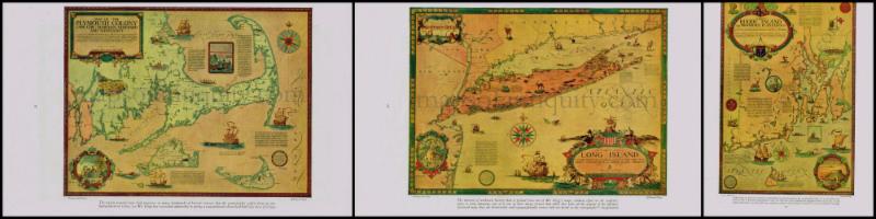
#8: Two Cape Cod favorites that are back in stock!
Bird's Eye View of Cape Cod
- 1905
Cape Cod and Islands - Barnstable, Dukes and Nantucket Counties
- 1871
|
#9: A New Yorker's Idea of the United States of America - 1939
This pictorial map shows a humorous version of the US by Daniel K. Wallingford, 1939. New York, Brooklyn, Cape Cod, and Florida are enlarged, many of the other states are out of place or strangely shaped, and California is divided into Hollywood, San Francisco, and California.
Have you seen the Bostonian version?
|
#10:
Lots and Lots of Pictorial Maps!
We just can't get enough, and neither can our wonderful customers! We have pictorial maps featuring a wide variety of locations, from California to Virginia, Texas to Alaska, The Finger Lakes to the Hoover Dam, as well as Europe, the world, the Americas, and more!
We also have three new Clegg maps available! The last two that we had sold very quickly!
|
|
 |
| Find us on Social Media for more updates |
Do you tweet, follow, like, and pin? Well, Maps of Antiquity has an active Facebook page where we post map-related articles, unusual maps and prints that we add to our website, company news, and answers to frequently-asked questions.
On Pinterest, we display some of our maps and prints and add opinions and comments about specific pieces. We also provide boards with decorating ideas.
On Twitter, Maps of Antiquity offers links to articles and brief news. We also periodically update Google Plus and LinkedIn with company news and product information.
Follow us on Instagram for fun posts like #MapMonsterMonday and snapshots of the shop!
So if you are spending time on social media, be sure to look us up. Also, if you have a preferred social media where you think we should be active....let us know!
|
|
|