With You - our community - and our city leaders energized, 2016 came to a close enjoying great momentum for cycling and safety improvements for Cupertino and area residents. Make sure that you thank our elected and appointed officials for their commitment
!
Their accomplishments include:
Cupertino's first comprehensive long-term 2016 Bike Improvement Plan(~$18M) was adopted by the City Council;
The majority of the 2015 bike project plan was completed (with ~$500K in remaining projects carried over);
$2M budgeted for FY2016 by the city council to start work on implementing select phases of the 2016 Bike Plan. (Since late 2014, the council has allocated approximately $3.5M for bike/ped safety improvements).
Steven Creek Boulevard: Class IV (separated) bike routes across the city from Foothill to Lawrence Expressway;
Cross-Cupertino East/West Protected Bike Way: McClellan Road route from Foothill Blvd to Tantau Road, tying our schools and library centers together;
Public review/input session scheduled for Wednesday, Jan 25th.
Cupertino Union School District - Safety Training
With the support of Safe Routes Program leadership and Santa Clara County Sheriff's Department - the district leadership launched a
formal bike safety training program in all CUSD middle schools with roll-out planned for the balance of CUSD's elementary schools.
Upcoming Projects in the first half of the New Year:
Develop a formal Pedestrian Improvement and Safety Plan;
Plan the I-280 (adjacent) bike/ped trailfrom Mary Avenue to Wolfe Road;
Develop the Union-Pacific bike/ped trail plan from Rainbow to Stevens Creek Blvd;
Create city-wide "Way-finder" bike routes signage
to make routes friendlier and useful to the cycling community.
Sidewalk ordinance proposed allowing students 12 and under (along with parents) to ride their bicycles on sidewalks. This ordinance has been approved by the Bike/Ped commission and will be presented to the City Council in February 2016.
Want to know how many kids in your neighborhood go to your school?
Check out the Interactive map of the neighborhoods where our school children live by school or district. It may help you with carpooling and ride-sharing needs.
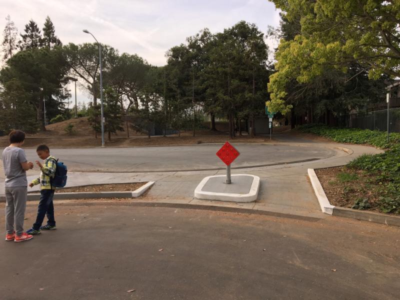
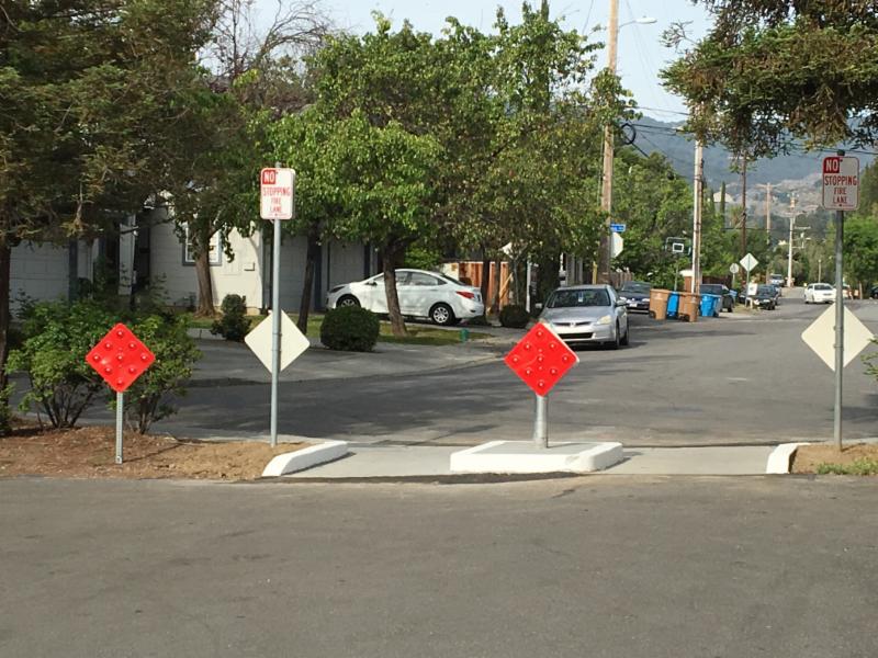
See some of the recent improvements below: Safe Routes crossings
:Ann Arbor at Memorial Park and Orange Avenue.
Next on our list, we are looking at improving the path through Memorial Park from the new passageway south, and adding green within the conflict zones along Stelling between Stevens Creek and McClellan