|
Reno-Sparks Area
Walking and Hiking Trails
If walking or hiking is your thing, there are plenty of trails around Reno and Sparks, and lots more in the surrounding area.
Hikers can get additional information from Washoe County Regional Parks and Open Space and the City of Reno...
Close To Reno and Sparks...
Ambrose Park
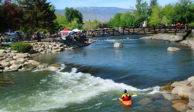
River Lane at Rainshadow Lane, Reno. Easy hiking along the Truckee River. Great for fishing & wildlife viewing.
Information: 775-785-4512
Anderson Trail
At Anderson Park, south end of Kietzke Lane, Reno. Easy hike with scenic views.
Information: 775-828-6612
Rancho San Rafael Regional Park
1595 North Sierra St., across from UNR, Reno. Wide variety of hikes and walks.
Information: 775-785-4512
Hidden Valley Regional Park
4740 Parkway Drive, off of Pembroke Drive, east Reno. Both easy and challenging hikes, great views.
Information: 775-828-6612
Bartley Ranch Regional Park
6000 Bartley Ranch Road, south Reno. Easy hiking, great views, museum and historic displays.
Information: 775-828-6612
Tom Cook Trail
In far west Reno, trailhead behind Patagonia or at Mayberry Park.
Information: 775-334-2262
Dorostkar River Park
Near Mayberry Drive, west Reno. Hiking and biking along the Truckee River. Nature trail and river access.
Information: 775-785-4512
Hunter Creek Trail
Takes you into the Mt. Rose Wilderness. Access is from the Steamboat Ditch Trail in west Reno.
Information: 775-882-2766
Virginia Lake Park
A flat, paved trail goes around the lake. A Reno city park.
Information: 775-334-2262
Huffaker Hills Trailhead
Easy to moderate hiking a well-maintained gravel and dirt tread. The higher you go, the better the views. Access is off S. McCarran Blvd., next to Rattlesnake Mtn.
Information: Truckee Meadows Trails Assn.: info@truckeemeadowstrails.org
Huffaker Park Lookout Trail
A nice suburban trail that loops around two hills and offers panoramic city views. A Reno city park.
Information: 775-334-2262
Peavine Mountain
Probably the easiest access point (among many) is Hilltop Park just off Kings Row in northwest Reno. Most of the peak is US Forest Service land (Humboldt-Toiyabe National Forest).
Information: 775-331-6444
Caughlin Ranch
This west Reno subdivision has lots of trails, including access to Alum Creek, Hunter Lake Rd., and Steamboat Ditch. Access is Caughlin Ranch Parkway off McCarran Blvd.
Sparks Marina Park
A flat, paved trail goes around the lake. A Sparks city park.
Information: 775-334-2262
A Short Drive Away...
Davis Creek Regional Park
25 Davis Creek Rd., Washoe Valley. Nature trails and a trailhead into the Toiyabe National Forest. The challenging Ophir Creek Trail climbs up past Slide Mountain, all the way to Lake Tahoe and a trailhead for the Tahoe Rim Trail.
Information: 775-849-0684
Galena Creek Visitor Center and Recreation Area
18350 Mt. Rose Highway (NV 431), south of Reno. Hiking in the Sierra along Galena, Jones and White's Creeks.
Information: 775-849-2511
Thomas Creek
A shaded hike for hot summer days. The trail follows the creek, then climbs for good views of south Reno. Trailhead access is off the Mt. Rose Highway in Galena, south of Reno.
Information: 775-882-2766
Jumbo Grade Trailhead
Jumbo Grade Rd., about half a mile east of East Lake Blvd., Washoe Valley. A steep hike, but your reward is fantastic views and a walk through the old Jumbo mining area.
Information: 775-849-1825
Washoe Lake State Park
For hikers, Deadman's Creek Trail is a moderate climb to a fantastic viewpoint with gazebo, overlooking the lake and the Sierra of Lake Tahoe's Nevada side.
Information: 775-687-4319
Lake Tahoe Nevada State Park
West of Carson City and near Lake Tahoe. Easy and moderate hikes, plus unsurpassed scenery. Take Hwy. 50 west from Carson City up to Lake Tahoe.
Information: 775-831-0494
Dayton State Park
East of Carson City, along the Carson River. Not much hiking, but there is camping, bird watching, and mining history. Twelve miles east of Carson City on Hwy. 50
Information: 775-687-5678
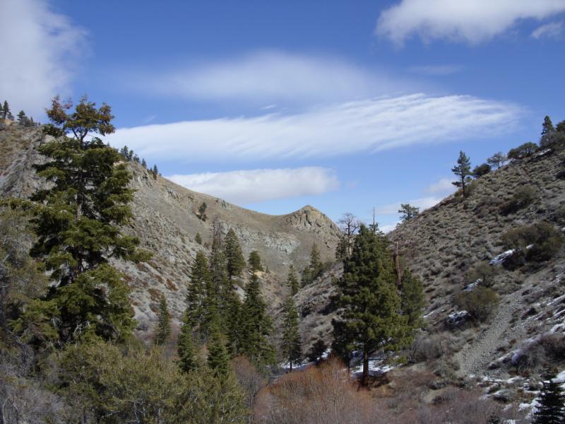
Mt. Rose Wilderness
The popular hike to the summit is strenuous. Your reward is a tremendous 360? view. Access is from the Mt. Rose Highway (NV 431) south of Reno.
Information: 775-882-2766
Tahoe Rim Trail
As the name implies, this route circles Lake Tahoe. Nearest trailhead from Reno is up the Mt. Rose Highway (NV 431) to Tahoe Meadows.
Information: 775-298-0012
Tahoe Meadows Interpretive Trail
Same trailhead as the Tahoe Rim, this 1.3 mile loop is an easy introduction to the Lake Tahoe Basin.
Information: 775-298-0012
Pacific Crest Trail - Castle Peak
Trailhead is west of Truckee at Donner Summit, near Boreal ski area, just off I80. Big sign marks the exit. Moderate hike is mostly shaded until you get to where you actually start up Castle Peak. Lots of other possibilities in this area. Tahoe National Forest.
Information: 530-587-3558
Carson Pass - Mokelumne Wilderness - Pacific Crest Trail
From Carson Pass on Hwy. 88, you can hike either south into the Mokelumne Wilderness, or north into the Lake Tahoe Basin. Either way, there are great views and large swaths of wildflowers (July - August). Eldorado National Forest, Amador Ranger District
Information: 209-295-4251
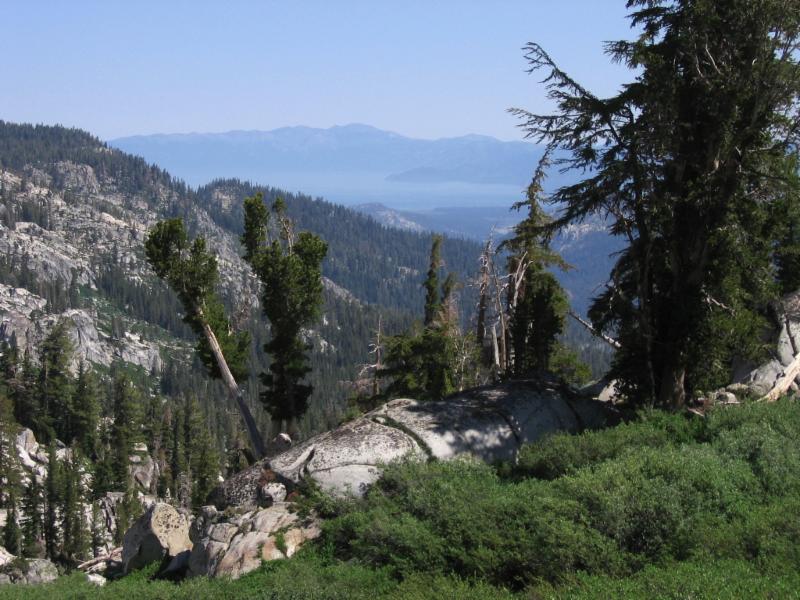
Desolation Wilderness
This area, in the Sierra along the west side of Lake Tahoe, is rightfully a popular place. Short hikes take you to some magnificent views of the lake and surrounding mountains, or you can do multi-day backpacking trips. USFS Lake Tahoe Basin Management Unit.
Information: 530-543-2600
Mt. Tallac Trailhead
The rewards of this hike are well worth the effort (strenuous, 5 miles one-way). Standing on top of Mt. Tallac is like being in an airplane over Lake Tahoe. Trailhead is 3 1/2 miles north of South Lake Tahoe on Hwy. 89, across from the entrance to Baldwin Beach. USFS Lake Tahoe Basin Management Unit.
Information: 530-543-2600
Best Regards, Kelly

phone: 775-219-6413
|

